Download
1 / 17
170 likes | 285 Views
HMT-West/CalWater 2011: IOP4 Summary. Operations director: Dave Kingsmill Duration Start: 12 UTC 17 February 2011 End: 12 UTC 19 February 2011 Activities at Lincoln (LHM) field site

E N D
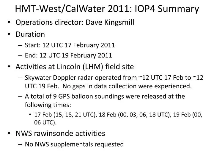
HMT-West/CalWater 2011: IOP4 Summary • Operations director: Dave Kingsmill • Duration • Start: 12 UTC 17 February 2011 • End: 12 UTC 19 February 2011 • Activities at Lincoln (LHM) field site • Skywater Doppler radar operated from ~12 UTC 17 Feb to ~12 UTC 19 Feb. No gaps in data collection were experienced. • A total of 9 GPS balloon soundings were released at the following times: • 17 Feb (15, 18, 21 UTC), 18 Feb (00, 03, 06, 18 UTC), 19 Feb (00, 06 UTC). • NWS rawinsonde activities • No NWS supplementals requested
HMT-West/CalWater 2011: IOP4 Summary • Autonomous instrument operation problems • Colfax (CFC): Power outage disabled the profiling radars and disdrometers throughout almost all of the IOP (after 21 UTC 17 Feb). • Sugar Pine (SPD): Intermittent power-outages disabled the disdrometer and S-band profiler at various times during the IOP. • Blue Canyon (BLU): The heater on the heated tipping bucket precipitation gauge failed. As a result, data collected at temperatures less than 0°C is suspect. • G-1 aircraft operations • Flight 12 (18 Feb) • Water collection for isotopic analysis • Cazadero and Shasta Dam: Power outages stopped data collection • Lincoln: Started 13 UTC 17 Feb, but stopped prematurely at 02 UTC 18 Feb due to a carousel loading error. • Sugar Pine: 1930 UTC 16 Feb to 1930 UTC 18 Feb
HMT-West/CalWater 2011: IOP4 Summary • Overview This 48 hour IOP occurred shortly after IOP3 and was associated with two different cold-core short waves rotating around a long-wave trough. The event was not associated with an atmospheric river (AR). Two different episodes of widespread precipitation were observed, the first during the day on 17 Feb and the second late in the day on 18 Feb continuing through the morning of 19 Feb. The first episode of widespread precipitation occurred with a barrier jet along the Sierra with over-running SW flow that led to orographic enhancement of precipitation. In contrast, the second episode had relatively weak NNW flow at low levels with stronger over-running SSE flow that was not conducive to orographic enhancement. A distinct low-level frontal passage was apparent at the coast in association with the first period of precipitation and along the Sierra in association with the second period of precipitation. Snow levels during the first episode of precipitation were ~3 kft, while those for the second episode started at ~3 kft, rose to ~5 kft then dropped sharply to ~1.5 kft. Precipitation accumulations for the IOP were 2” to 4” in the Sierra, 1” to 2” in the Central Valley and <1” along the coast. The images in the following slides provide additional context for the IOP
Synoptic Evolution 12 UTC 17 February 00 UTC 18 February 12 UTC 18 February
Synoptic Evolution 00 UTC 19 February 12 UTC 19 February 00 UTC 20 February
IR Satellite Evolution 12 UTC 17 February 00 UTC 18 February 12 UTC 18 February
IR Satellite Evolution 00 UTC 19 February 12 UTC 19 February 00 UTC 20 February
Winds and Water Vapor Flux @ Bodega Bay 18 February 17 February 19 February Upslope Wind Direction = 230°
Winds and Water Vapor Flux @ Sloughhouse 18 February 17 February 19 February
KDAX Radar Reflectivity Evolution 14 UTC/17 Feb 17 UTC/17 Feb 20 UTC/17 Feb 23 UTC/17 Feb 02 UTC/18 Feb 05 UTC/18 Feb 11 UTC/18 Feb 08 UTC/18 Feb
KDAX Radar Reflectivity Evolution 14 UTC/18 Feb 17 UTC/18 Feb 20 UTC/18 Feb 23 UTC/18 Feb 02 UTC/19 Feb 05 UTC/19 Feb 11 UTC/19 Feb 08 UTC/19 Feb
Vertical Precipitation Structure @ Cazadero 19 February 18 February 17 February Radar Reflectivity Doppler Vertical Velocity and Snow Level
Vertical Precipitation Structure @ Sugar Pine 19 February 18 February 17 February Radar Reflectivity Doppler Vertical Velocity and Snow Level
CNRFC Precipitation Gauge + Mtn. Mapper QPE 24 h ending 12 UTC 18 Feb 24 h ending 12 UTC 19 Feb