Download
1 / 7
70 likes | 102 Views
Explore how maps and globes represent the Earth with accurate scale, symbols, key features like the Equator and Prime Meridian, and latitude and longitude. Learn about various map projections and enhance your understanding of Earth's geography.

E N D
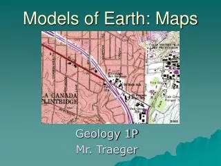
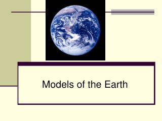
Models of Earth EQ: How do maps and globes represent the Earth? G 1-2
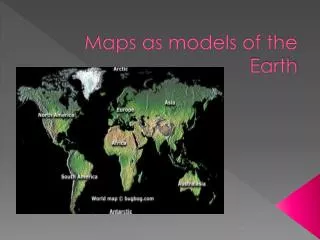
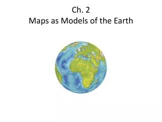
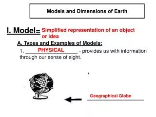
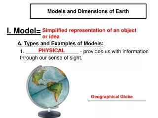
Maps and Globes • Map – model on a flat surface of all or part of Earth’s surface as seen from above • Globe – a sphere that represent Earth’s entire surface • Correctly shows the relative size and shape of landmasses and bodies of water • Both are drawn to scale and use symbols to represent topography and other features EQ: How do maps and globes represent the Earth? G 1-2
Parts of the Map Scale – relates distance on a map to a distance on the Earth’s surface. Often given as a ratio Symbols – pictures that represent features on Earth’s surface Key – legend, a list of symbols used on a map and what they represent Compass Rose – used for direction on a map. The top of a map is usually North EQ: How do maps and globes represent the Earth? G 1-2
Earth’s Reference System Equator – imaginary line that divides the Earth into Northern and Southern hemispheres Prime Meridian – imaginary line that makes a half circle from the North Pole and the South Pole. The PM passes through Greenwich, England. It divides the earth into the Western and Eastern hemispheres Degree – 1/360 of the way around a full circle EQ: How do maps and globes represent the Earth? G 1-2
Locating Points on the Earth’s Surface Latitude – distance in degrees north or south of the equator. The equator is 0 °. North pole is 90 °north, south pole is 90 ° south. Longitude – distance in degrees east or west of the prime meridian. Prime meridian measure 0°. Half way around the sphere is 180° east or west. EQ: How do maps and globes represent the Earth? G 1-2
Map Projections- A framework of lines that show land masses on a flat surface Mercator projection – lines of latitude and longitude all appear as straight, parallel lines that form a rectangle. Land masses are distorted Equal Area projection: correctly shows the relative sizes of Earth’s landmasses. Landmasses at the edges are distorted EQ: How do maps and globes represent the Earth? G 1-2
Class work and Homework EQ: How do maps and globes represent the Earth? Fill In What did I learn Confused Say Inquiry, “A Borderline Case”, page G25 Read pages G19 – G 24, questions 1- 4. Answer with complete sentences. G 1-2