Download
1 / 34
340 likes | 586 Views
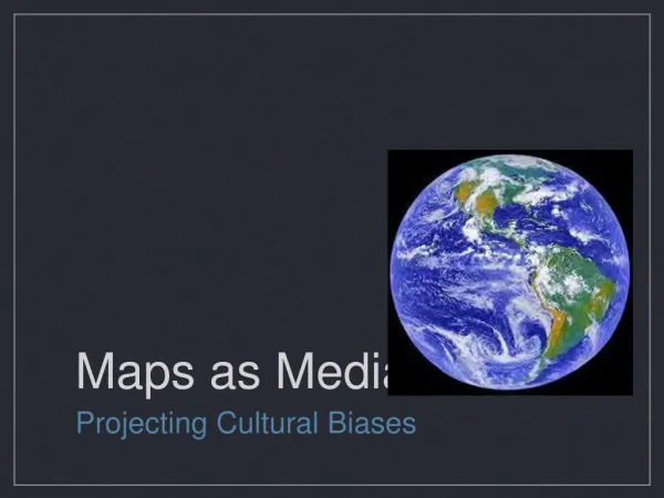
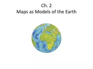
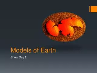
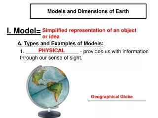
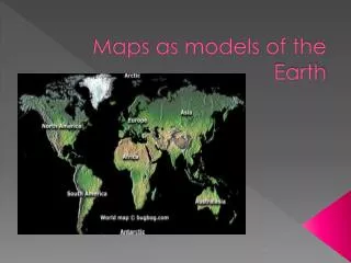
Maps as models of the Earth. You are here. Map - is a representation of the features of a physical body such as Earth. Ptolemy Map. European Maps. Europeans’ placed East at the top to emphasize the importance of Jerusalem to the Europeans’ faith. Chinese Maps.

E N D
You are here • Map - is a representation of the features of a physical body such as Earth.
European Maps • Europeans’ placed East at the top to emphasize the importance of Jerusalem to the Europeans’ faith.
Chinese Maps • The Chinese put south at the top of their maps because nothing to the north held any interest to them.
The Greeks • Accepted the Earth as being a sphere almost 2,000 years before Christopher Columbus made his voyage in 1492. • Eratosthenes – A Greek mathematician, wanted to know the size of Earth. • Calculated the circumference using math and observation of the sun. • No Satellites or computers were used just pen and paper. • His calculations were off by 6,250km. Roughly 4,000miles.
Finding Direction on Earth • Reference Point – a fixed place on the Earth’s surface from which direction and location can be described. • Because Earth is spherical it doesn’t really have any reference points or does it?
Reference Points on Earth • Axis – the imaginary line that runs through the Earth. • At each end of the axis is the geographic poles: • North Pole • South Pole
Cardinal Directions • Cardinal Directions – The popular directions of North, South, East, and West. • What are the advantages of Cardinal Directions?
Using a Compass • Compass – a tool that uses the natural magnetism of the Earth to show direction. • The Earth has two different sets of poles • Geographic Poles – The location in which the Earth spins on its Axis. • Magnetic Poles – The poles that the compass will point to.
True North and Magnetic Declination • True North – the direction to the geographic North Pole • You must make a correction for the difference between the geographic North Pole and the magnetic north pole, in order to use a compass. • Magnetic Declination – the difference between the magnetic north and the true north. • Must be calculated in order to use a compass.
Using Magnetic Declination • Magnetic declination is measure in degrees east or west of true north. (pg 39 fig 5) • Figure out roughly what the magnetic declination is for New Bern, NC. • Remember CEEC ( Correct Easterly Errors Clockwise)
Finding Locations on the Earth • Just like you have an address at your house city’s, states, and islands have an address too. • The address includes two very important geographical terms. • Longitude • Latitude.
Latitude • Latitude – Imaginary lines drawn around the Earth parallel to the equator. • Tells distances North or South of the equator. • Expressed in degrees.
Equator A circle located halfway between the North and South Poles that divides the Earth into the Northern and Southern Hemispheres. • Represents 0° latitude • Divides the Earth into Northern Hemisphere and Southern Hemisphere.
Latitude • North Pole and South Pole • Located at 90° • Pg 43 fig 3-1
Longitude • Longitude – lines of longitude, or meridians, are imaginary lines that pass through both poles. • Distance East and West of the prime meridian. • Expressed in degrees. • Lines run North and South of Equator and are farther apart at the equator.
Longitude • http://earthguide.ucsd.edu/earthguide/diagrams/globe/globe.swf
Prime Meridian • Prime Meridian – the line that runs from North Pole through Greenwich, England to the South Pole. • Does not run on both sides of the Earth like the Equator. • Is located at 0° • With the 180 °Meridian line cut the Earth into two halves West and East. • 180 °Meridian line runs on the opposite side of the Prime Meridian.
Prime Meridian/ Meridian • Together the prime meridian and meridian lines divide the Earth into an Eastern and Western hemisphere.
Question • Why is the prime meridian 0 longitude and the meridian 180 longitude when they are the same line dividing the Earth into an east and a west?
Using Latitude and Longitude • There are two ways in which you can use Latitude and Longitude. • To find an object on a map. • To figure out the address of the object.
To find an object on a map. • In order to find and object on a map you must first find the latitude and the longitude of the object. • Second you trace your fingers together and you should be on top of the object or very close to it.
To find the address of an object. • Find the object on the map. • Trace your finger out to the longitude and latitude readings.
Great Circles • Shortest route between two points on a sphere. • Is the same as the shortest point between two points is a straight line. • Used in navigation, especially in long-distance travel by boat or aircraft.