Download

1 / 16
170 likes | 549 Views
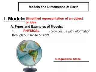
Chapter 3. Models of Earth. Finding Locations on Earth: Latitude. A reference grid that is made up of additional circles is used to locate places on Earth‘s surface. Halfway between the poles, a circle called the equator divides Earth into the North and Southern Hemispheres.

E N D
Chapter 3 Models of Earth
Finding Locations on Earth: Latitude • A reference grid that is made up of additional circles is used to locate places on Earth‘s surface. • Halfway between the poles, a circle called the equator divides Earth into the North and Southern Hemispheres. • parallel any circle that runs east and west around Earth and that is parallel to the equator; a line of latitude • latitude the angular distance north or south from the equator; expressed in degrees
Degrees of Latitude • Latitude is measured in degrees • the equator is 0° latitude. T • the latitude of both the North Pole and the South Pole is 90°. • In actual distance, 1° latitude equals about 111 km. Minutes and Seconds • Each degree of latitude consists of 60 equal parts, called minutes. One minute (symbol: °) of latitude equals 1.85 km. • Each minute is divided into 60 equal parts, called seconds (symbol: °).
Longitude • East-west locations are established by using meridians. • meridian any semicircle that runs north and south around Earth from the geographic North Pole to the geographic South Pole; a line of longitude • longitude the angular distance east or west from the prime meridian; expressed in degrees
Degrees of Longitude • prime meridian - 0° longitude and passes through Greenwich, England • International Date Line - The meridian opposite the prime meridian, halfway around the world, is labeled 180°. Distance Between Meridians • The distance covered by a degree of longitude depends on where the degree is measured. The distance measured by a degree of longitude decreases as you move from the equator toward the poles.
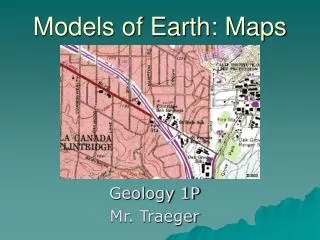
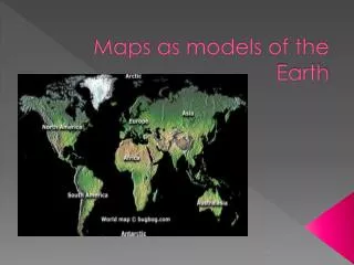
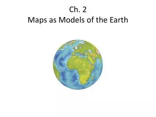
Maps • The science of making maps is called cartography. Scientists who make maps are called cartographers. • Cartographers use data from a variety of sources, such as from field surveys and remote sensing.
Cartography • http://www.natgeoeducationvideo.com/film/1065/cartography
Map Projections • http://www.natgeoeducationvideo.com/film/1064/cartographic-projection
Reading Maps • Many maps also include a compass rose, which is a symbol that indicates the cardinal directions (north, east, south, and west), or an arrow that indicates north. • legend a list of map symbols and their meanings • scale the relationship between the distance shown on a map and the actual distance
Topographic Maps • One of the most widely used maps is called a topographic map, which shows the surface features of Earth. • topography the size and shape of the land surface features of a region • elevation the height of an object above sea level Advantages of Topographic Maps • Topographic maps provide more detailed information about the surface of Earth than either drawings or .
Elevation on Topographic Maps • contour line a line that connects points of equal elevation on a map • The difference in elevation between one contour line and the next is called the contour interval. The contour interval is selected based on the relief of the area being mapped. • relief the difference between the highest and lowest elevations in a given area • Every fifth contour line is darker than the four lines one either side of it. This index contour makes reading elevation easier.
Closely spaced contour lines indicate that the slope is steep. • Widely spaced contour lines indicate that the land is relatively level.
Practice Reading a Topographic Map • Refer to page 76 in your textbook.