Download
1 / 12
130 likes | 302 Views
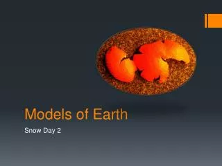
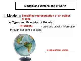
Models of the Earth. Chapter 3.1. Finding Locations on Earth. While the Earth’s shape is not a sphere is very close to the shape. This makes it very hard for us to pinpoint locations without having reference points.

E N D
Models of the Earth Chapter 3.1
Finding Locations on Earth • While the Earth’s shape is not a sphere is very close to the shape. • This makes it very hard for us to pinpoint locations without having reference points. • The North and South Geographic Poles are used for mapping reference and establishing directions.
Finding Locations on Earth • Halfway between the North and South Poles is the equator. • Based from these reference points we have created an entire system of intersecting circles to locate places on Earth.
Latitude • Parallels are circles (lines) that run east and west around the world parallel to the equator. They describe positions north and south of the equator. • The angular distance north or south of the equator is called latitude.
Latitude • Latitude is measured in degrees (symbol = º). • There are 90 degrees between the equator and either pole. • There are a total of 360 degrees of latitude lines to make a full circle • 360 º = 40,000km around the Earth. • Parallels of latitude north of the equator are labeled with an N, and parallels of latitude south of the equator are labeled with an S.
Latitude • Latitude is broken in to measurements of degree, minutes, and seconds. • One degree of latitude = 60 minutes (Symbol = ‘) • One degree = 111 km • One minute = 60 seconds (Symbol = “) • One minutes = 1.85km • Washing D.C. is located at 38º53’51”N. • How many km does 1” equal? • (0.031km).
Longitude • A meridian is a semicircle running from the north pole to the south pole. • Meridians make up all of the north/south lines on the earth. • They are used to establish an East/West location. • The Prime Meridian passes through Greenwich, England and is 0 º. • The degrees of meridians begin at 0 º and go to 180 º East or West.
Longitude • Longitude is the angular distance, measured in degrees, east or west of the prime meridian. • It is also measured in degrees, minutes, and seconds. • We know that Washington D.C. is located 38 º 53’51”N on the parallels, but it is also located at 77 º0’33”W on the meridians. • Its exact location would be 38 º 53’51”N, 77 º0’33”W. • At the equator, 1º longitude = 111km. However, as one moves toward the poles this changes because all meridians meet at the poles. This distance becomes smaller until it reaches 0 at the poles.
Great Circles • Great Circles • Any circle that divides the globe into halves. • Any circle formed by two meridians of longitude directly across from each other on opposite sides of the globe is a great circle. • However, the equator is the only great circle for parallels of latitude.
Finding Direction • Finding Direction • Magnetic compasses can indicate direction because the earth has magnetic properties. • Recall, the earth’s geomagnetic poles are offset from the earth’s geographic poles. • All compasses point toward earth’s geomagnetic poles, not geographic North and South Pole.
Finding Direction • The angle between the direction of the geographic pole and the direction in which the compass needle points is called magnetic declination. • We say “True North or True South” to indicate geographic north and south poles. • Magnetic declination has been determined for points all over the earth.
Example: Central Ohio is located at approximately 7ºW of true north.Example: Where is central Texas located according to true north?