Download
1 / 16
160 likes | 175 Views
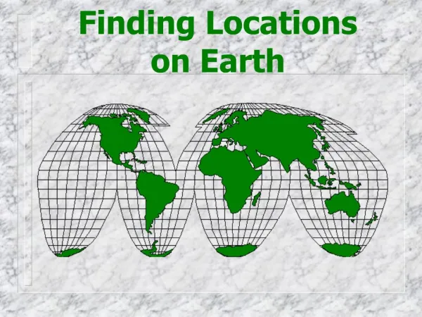
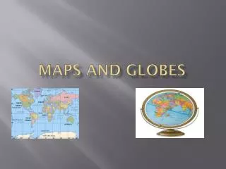
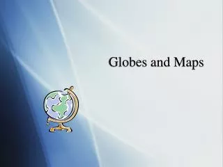
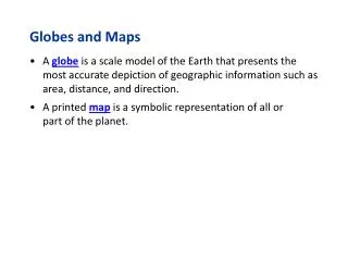
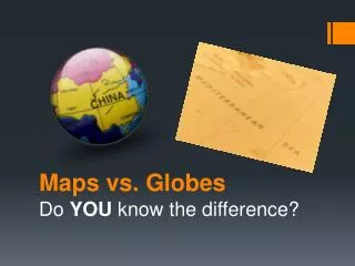
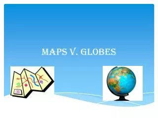
Finding Locations on Maps and Globes CRCT Review. 1. Globes are models of the earth. Maps are flat pictures of the earth, or some part of the earth. People use both globes and maps to learn where places are located in the world. Globe. Map.

E N D
1. Globes are models of the earth. Maps are flat pictures of the earth, or some part of the earth. People use both globes and maps to learn where places are located in the world. Globe Map • Based on the passage above, how do people use globes and maps? • To read about places in the United States • To learn where places are located in the world • To find their friends addresses • To know where to find the best restaurants
2. To help people locate places more easily, maps and globes have lines of latitude and lines of longitude. These are imaginary lines that make it easier to understand where places are. Lines of latitude run east-west and are called parallels.. Lines of longitude run north-south and are called meridians. What are the imaginary lines on maps and globes that help people locate places more easily? a. latitude and longitude c. globe lines b. map lines d. directional lines
3. Latitude and longitude are measured by degrees. The equator is the line of latitude that runs around the globe or map at its center. The equator divides the earth into the Northern Hemisphere and the Southern Hemisphere. The prime meridian is a line of longitude that runs from the North Pole to the South Pole and is located at zero degrees longitude. The prime meridian divides the earth into the Eastern Hemisphere and Western Hemisphere. The equator is located at zero degrees latitude. The prime meridian is located at zero degrees longitude. Lines of latitude and longitude divide the earth into a. teams. c. hemispheres. b. groups. d. categories.
4. Use the images below to answer the following question. X Y Which image shows lines of latitude? a. X b. Y c. both d. neither
5. Use the images below to answer the following question. X Y Which image shows lines of longitude? a. X b. Y c. both d. neither
6. Use the images below to answer the following question. X Y Which image shows the equator? a. X b. Y c. both d. neither
7. Use the images below to answer the following question. X Y Which image shows the prime meridian? a. X b. Y c. both d. neither
8. Use the images below to answer the following question. X Y Which image divides the world into hemispheres? a. X b. Y c. both d. neither
9. Use the image below to answer the following question. Of the following continents, which does the equator pass through? a. North America b. Antarctica c. Europe d. Africa
10. Lines of longitude are called a. international lines. b. parallels. c. meridians. d. equators
11. Parallels area. lines of latitude.b. only found in the Eastern Hemisphere.c. lines that run north and south.d. lines of longitude.
12. Use the images below to answer the following question. 1 2 Which image shows meridians? a. 1 b. 2 c. both d. neither
13. Use the images below to answer the following question. 1 2 Which image shows parallels? a. 1 b. 2 c. both d. neither
14. Meridians area. lines of latitude.b. only found in the Western Hemisphere.c. lines that run east and west.d. lines of longitude.
15. Use the image below to answer the following question. Which continent is closest to 40 degrees South and 120 degrees East? a. North America b. Australia c. Asia d. Africa