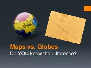
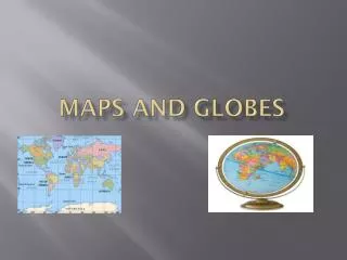
Maps and Globes
Maps and Globes. What is a map?.

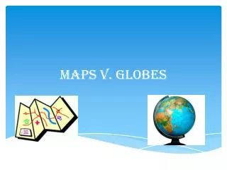
Maps and Globes
E N D
Presentation Transcript
What is a map? • A map is a flat drawing of a place or part of the world. A map looks as if it were drawn from the view of someone sitting in an airplane.Maps help us findourway from one place to another. A map shows where things or places are located. Maps can be used to show how far one place is from another.
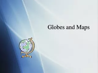
What is a globe? • A globe is a small model of the Earth. It shows the continents and the oceans of the Earth on its surface. A globe spins on an axis. A globe's axis is a metal stick stuck through its center. A globe has an axis so that it can show how the Earth spins in space. The Earth has an axis, too, but it doesn't spin on a metal stick. The Earth's axis is an imaginary line drawn through its center from its North Pole to its South Pole.
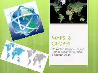
Political maps • The world political maps clearly represent all of the current political divisions and sub-divisions in the continents of Asia, Africa, North America, South America, Antarctica, Australia and Europe. Knowledge about the political divisions of the world, which can be gathered from world political maps, helps you understand the world better. The world political map outline presented here is a detailed representation of the seven principal oceans and the seven continents marked with latitudes and longitudes on the curved surface of the earth. Complex aerial routes around the world are also chalked out for easier understanding of global air transportation. In the world political atlas any specific location on the earth can be located with the help of the two coordinates representing the latitude and longitude for the desired place.
Physical maps • Physical maps are majorly utilized to depict the physical features like various landforms and water bodies present on the earth's surface. Different colors, lines, tints, shading and spot elevations are used to show the elevation and to differentiate lowlands from the mountains in physical maps.Apart from political borders, major cities and significant water bodies a world physical map depicts various landforms like mountains, deserts and plains. Colors play an important role and are used dramatically to distinguish landforms and elevations depicted on the map
Climate maps • A climate map is a depiction of prevailing weather patterns in a given area. It usually consists of a conventional map overlaid with colors representing climate zones. The map's legend helps you identify each zone.
Map key • A map key is a list of words or phrases or colors -- usually within a box in the corner of the map -- that usually explains the symbols that that are found on the map itself. Also referred to as a "legend."
Map scale • A map scale shows the ratio of the indicated distances on the map to the actual physical distance. For example a scale of 1:1000 means (I will use millimeters in my example but it could also be inches, feet, meters etc.) 1mm scaled on the map equals 1000mm, or 1 meter, in the real world.
Compass • An instrument containing a magnetized pointer that shows the direction of magnetic north and bearings from it. An instrument for drawing circles and arcs and measuring distances between points, consisting of two arms linked by a movable joint, one arm ending in a point and the other usually carrying a pencil or pen.
References • http://www.google.bs/what=are=maps • http://www.bing.com/mapsofthebahamas • http://www.mapsandglobeseducation.edu
Group Members • Diamond Pearson(Captain) • Kiarra Dorsett(Co – Captain) • Clive Saunders • Trinity Smith • Mya Burrows • Serena Barr