Download
1 / 52
520 likes | 537 Views
This presentation discusses the background, WSR-88D radar, storm characteristics, velocity, mesocyclone, and gate-to-gate shear of significant tornadoes in New York and New England from 1995 to 2011.

E N D
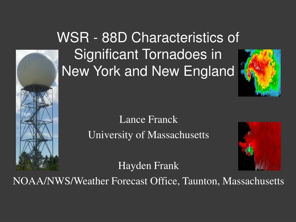
WSR - 88D Characteristics of Significant Tornadoes in New York and New England Lance Franck University of Massachusetts Hayden Frank NOAA/NWS/Weather Forecast Office, Taunton, Massachusetts
Presentation • Background • WSR - 88D • Reflectivity • Storm Type • Storm Characteristics • Velocity • Mesocyclone • Gate to Gate Shear • Three Cases In-Depth
Background A significant tornado is defined as having a rating of EF2/> on the Enhanced Fujita Scale (Feb 2007). (NOAA)
Background In the seventeen year period of the study, from 1995 to 2011, thirty-eight significant tornadoes occurred, resulting in 7 fatalities and 421 injuries. (SPC)
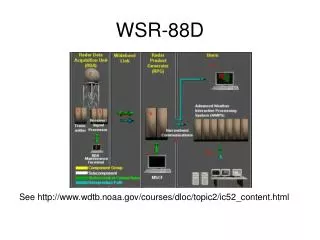
WSR - 88D WSR - 88D “Weather Surveillance Radar 1988Doppler” became operational in 1995. It scans multiple elevation angles of the column. It also completes a volume scan of the column about every 5 minutes. (FMH) (NOAA)
(NSSL) Nearly all of the tornadoes in the study were associated with the supercell storm-type. Using multiple elevation angles and volume scans, WSR - 88D provides both reflectivity and velocity at points throughout the column.
Map of WSR - 88D sites. (NOAA)
Reflectivity ME 7/8/96 NY 5/18/00
Reflectivity NH 5/31/98 NY 8/8/98 NY 8/8/98
Average Storm Motion in the study: • 260 degrees at 35 knots (east at 40 mph) Storm Motion
Velocity Measurement of wind toward or away from the radar. Outbound Velocity: Positive and away from the radar. Inbound Velocity: Negative and toward the radar. (NOAA)
Velocity There are two types of velocity: Base Velocity measures the combined circulation and storm motion. Therefore, the inbound and outbound velocities of a circulation may not be apparent. Application: straight-line winds. Radar site Storm Relative Velocity is computed by subtracting the storm motion from the Base Velocity measurement. The circulation becomes apparent. Application: tornadoes. Radar site
Mesocyclone & Gate to Gate Shear Storm Relative Velocity: Buffalo, NY WSR - 88D 7/24/10
The Mesocyclone • A storm-scale, vertical column of rotating air that • develops in the updraft of a severe thunderstorm. • It covers a much larger area than the tornado that • may develop within it. It’s the hallmark of a supercell. • Mesocyclone criteria: • At least ten-thousand feet in depth. • Persisting for at least two concurrent • volume scans (about 10 minutes). • Rotational Velocity of at least 25 knots. • Diameterof 5 miles or less.
Mesocyclone Radar Storm Relative Velocity – 3 min prior to tornado Gate to Gate Shear (Tornado)
Max Out: + 53 knots Mesocyclone Rotational Velocity = |Max In| + |Max Out| 2 = 52 knots Max In: - 51 knots
Average mesocyclone distance from radar: 49 miles. Lowest elevation angle (0.5 deg) ~ 4,200 ft. (FMH)
The horizontal axis represents volume scans relative to tornado touchdown. The time interval between scans is 5 minutes. There are 10 time intervals ~ 50 minutes. Note the increase from 31 to 39 knots prior to touchdown.
Scale:1mi • Mesocyclone Diameter: Distance between highest inbound • and outbound velocity in the circulation. • Diameter = 5 miles
Mesocyclone Diameter oscillated from 2.4 to 3.6 miles. Note the sharp decrease centered around the time of tornado touchdown, as well as 10 to 15 minutes prior.
Gate to Gate Shear A velocity measurement taken at the point where the greatest inbound and outbound velocities are pixel to pixel, within the larger mesocyclone. Gate to Gate Shear is indicative of tornado location.
Mesocyclone Radar Storm Relative Velocity – 3 min prior to tornado Gate to Gate Shear (Tornado)
Max Out: 41 knots Max In: - 49 knots Gate to Gate Shear = |Max In| + |Max Out| = 90 knots
Note the increase from 33 to 50 knots prior to touchdown. The average path length and speed of a tornado in this study was 6.0 miles and 40 MPH, respectively. Thus, the average time on the ground was about 10 minutes.
All available elevation angles were used up to 20,000 feet. (FMH)
Maximum of 88 knots prior to touchdown ~ 102 mph. Significant tornado (EF2) threshold = 111 mph. Secondary maximum of 76 knots well after touchdown.
Average = 6,700 feet. Note the increase 10 to 15 minutes after touchdown from a minimum of 5,100 ft. to a maximum of 8,200 ft.
The Cases • The June 1st, 2011 Westfield to Charlton MA EF3 Tornado • (Google) • EF Rating: 3 • Path Length: 37 Miles • Path Width: ½ Mile • Deaths: 3 • Injuries: 200
12Z 500 hPa Analysis18Z Surface Analysis • Closed 500 hPa low in Southern Canada; Westerly flow. • Surface cold front and attendant pre-frontal trough in NY. • Warm & moist southerly flow at the surface.
12Z Albany Sounding12Z Albany Hodograph (Lower 1 km) • Both speed & directional shear in the lowest 1 km. • Elevated Mixed Layer (EML). X
18Z ML Cape & CIN (SPC) 18Z Effective Bulk Shear (SPC) • High CAPE - High Shear environment.
ENX Storm Relative Velocity & Base Reflectivity (0.5 Deg. Tilt) - 2002Z • Strengthening Mesocyclone(left panel - inset) • Rotational Velocity = 35 knots.
ENX Storm Relative Velocity & Base Reflectivity (0.5 Deg. Tilt) - 2016Z • Note appendage over Westfield, MA. • Gate to Gate Shear = 103 knots; Tornado began at 2017Z.
BOX Storm Relative Velocity & Base Reflectivity (0.5 Deg. Tilt) - 2036Z • Hook Echo; Tornado over Springfield, MA. • Hail Spike evident.
BOX Storm Relative Velocity & Base Reflectivity (0.5 Deg. Tilt) - 2051Z • Hook Echo better defined; Tornado entering Monson, MA.
BOX Storm Relative Velocity & Base Reflectivity (0.5 Deg. Tilt) - 2104Z • Tornadic Debris Signature Spike. • Gate to Gate Shear = 123 knots; Tornado over Brimfield, MA.
BOX Storm Relative Velocity & Base Reflectivity (0.5 Deg. Tilt) - 2113Z • Tornado in the vicinity of I-90 / I-84 Interchange. • Multiple Vortex evident in velocity data.
The July 24, 2008 NH Tornado • (Google) • EF Rating: 2 • Path Length: 50 Miles • Path Width: ½ Mile • Deaths: 1 • Injuries: 2
12Z 500 hPa Analysis (SPC) 15Z Surface Analysis • Anomalous 500 hPa closed low; 50+ knot southerly flow. • Surface warm front moving northward. • South-Southeast flow with 70F+ Dewpoints.
12Z GYX Sounding 12Z GYX Hodograph (Lower 1 km) • Deep South-Southwest flow through the column. • Modest directional and speed shear (lowest 1 km).
15Z ML Cape & CIN (SPC) 15Z Effective Bulk Shear (SPC) • Low Cape – High Shear environment.
GYX Storm Relative Velocity & Base Reflectivity (0.5 Deg. Tilt) - 1520Z • GYX Radar indicated a broad circulation (left panel - inset) • Rotational Velocity = 37 knots.
GYX Storm Relative Velocity & Base Reflectivity (0.5 Deg. Tilt) - 1529Z • Gate to Gate Shear = 54 knots; Tornado began at 1530Z.
GYX Storm Relative Velocity & Base Reflectivity (0.5 Deg. Tilt) - 1557Z • Note “comma-like” appendage of higher reflectivity.
The July 21, 2003 NY Tornadoes • EF Rating: 2 • Path Length: 1.5 Miles • Path Width: 150 Yards • Deaths: 0 • Injuries: 7 Map of EF2 / > Tornadoes (SPC) Map of all Tornadoes (Google) Tornado 1: 0023Z Tornado 2: 0043Z • EF Rating: 2 • Path Length: 1.3 Miles • Path Width: 50 Yards • Deaths: 0 • Injuries: 1
00Z 500 hPa Analysis 00Z Surface Analysis • 500 hPa Jet Maxima of 50+ knots moving through NY/PA. • Warm front moving northward through the Hudson Valley, • leading to southerly flow and 60F+ Dewpoints.
00Z Albany Sounding 00Z Albany Hodograph (Lower 1 km) • Strong directional and speed shear. • Long and clockwise Hodograph in the lowest 1 km; • Large values of Storm-Relative Helicity.
ENX Storm Relative Velocity & Base Reflectivity (0.5 Deg. Tilt) - 0009Z • Broad Mesocyclone; Rotational Velocity = 51 knots • Produced EF1 Tornado in Sullivan County NY at 2320Z.
ENX Storm Relative Velocity & Base Reflectivity - 0020Z • Gate to Gate Shear = 96 knots; First EF2 Tornado at 0023Z.