Download
1 / 23
230 likes | 238 Views
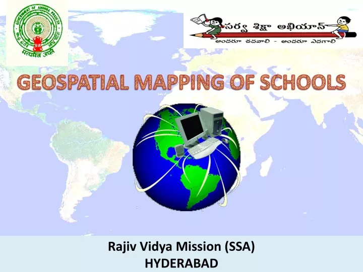
GEOSPATIAL MAPPING OF SCHOOLS. Rajiv Vidya Mission (SSA) HYDERABAD. What is Geospatial Mapping of Schools ???.

E N D
GEOSPATIAL MAPPING OF SCHOOLS Rajiv Vidya Mission (SSA) HYDERABAD
What is Geospatial Mapping of Schools ??? Geospatial School mapping with the help of Global Positioning System (GPS) facilitates in preparing need based plans at grassroots level. By integrating infrastructure facilities of schools with the mapping will help in decision making. • Web–enabled school mapping helps to • Identify habitations without access to schooling facilities. • Conduct proximity analysis. • Measure Distances. • View photographs of infrastructure facilities. • Upgrading of schools.
Why School Mapping ??? • Universalization of Access • Universalization of Enrollment. • Fixing individual school’s responsibility. • Web-based Monitoring Mechanism • Quick Data Dissemination.
Geospatial Mapping of schools in A.P is the in-house product of Rajiv Vidya Mission (SSA), Andhra Pradesh • It was conceived by RVM(SSA), A.P and Technically designed, developed by hosted by NIC, AP
It is a powerful GIS tool with MIS Reports • It provides necessary inputs for planning the school education activities with reference to • 1. Access • 2. Enrollment • 3. Retention • 4. Manpower planning (Teacher requirement and availability ) • 5. Infrastructure • 6. Social and Gender gaps • Inclusive Education with reference to physical Infrastructure and Mainstreaming for Children With Special Needs.
It performs the following functions. • It Pinpoints the exact physical location of any selected school with reference to geospatial coordinates (Latitude, Longitude) • It also shows the photographs of the school covering the infrastructure facilities like (Building, Toilets , Drinking water, compound wall, play ground , Electricity, Science labs, Library, Kitchen shed etc). Contd…..
It is also a tool to measure distances between • School to School • Habitation to Habitation • Habitation to school Contd…..
It also does proximity analysis –Showing the Number of Schools with in a given radius from a habitation (1km,3km,5km and so on) • Shows the Number of habitations with in a given radius of a given habitation
Proximity analysis can be done using circle tool (Drawing a circle around any point with desired radius ) • Locate your School • By selecting from a drop down menu any school can be located. Contd…..
Query building • In this application required reports can also be generated by using Query Builder. • Classification of Schools management-wise • Availability of infrastructure and basic amenities like • Drinking water, Electricity, Toilet, compound wall etc. Contd…..
Development of GIS in Andhra Pradesh • In-house development. • Conceived by RVM(SSA), Designing, Development and Hosting by NIC AP. • Data collection by Teachers. • Trainings of Teachers from August 2009 to October 2009. • Data collection completed by March 2010. • Testing completed by May 2010. Contd…..
Development of GIS in Andhra Pradesh LOGISTICS • 9 GPS instruments per District. • 9 Digicameras per District. • 22 Districts covered. • 10 Teachers per district were Trained. • 9 Teachers were involved in Data collection (1 kept as reserve).
Development of GIS in Andhra Pradesh • Total No. of Schools covered 1,00,974.(Including Govt., Pvt. Aided, Pvt. Un-aided) • Average work load per teacher 510 schools • 5 Photographs per school on an average.
COSTING • Software :Rs. 00.40 lakhs. • Hardware :Rs.28.81 lakhs. • No TA/DA paid. • Remuneration: @ Rs.50/- per school :Rs.50.48 lakhs. • Trainings :Rs.00.41 lakhs. Total Project cost :Rs.80.10 lakhs
TIME TAKEN • Procurement by tendering :4 months.(April 2009 to July 2009) • Trainings :1 month.(between September,2009 & October, 2009) • Spatial data collection : 3 months.(November,2009 to January, 2010) • Development : 3 months.(February,2010 to April, 2010) • Validation & Testing : 1 month.(May,2010)
Technologies / Software used • ASP Map 4.5 Standard Edition. • Visual Studio 2005 ( ASP.Net ). • Oracle RDBMS. Data used • DISE Data. • Spatial Data :Administrative boundaries (Survey of India).
Key Features of School Mapping Geo Coordinates of Schools (Latitude & Longitude Values)- The coordinates were captured by the trained Teachers by using Geographical Positioning System (GPS) instrument. Photographs of infrastructural facilities Teachers were trained how to capture photographs of infrastructural facilities like school building, compound wall, class room, play ground, library, lab, electricity, computers, drinking water, kitchen shed and toilets in the school with digital cameras. These photos have been incorporated in GIS application so as to view the infrastructural facilities. Contd…..
Key Features of School Mapping Comprehensive school reports To generate school reports, GIS application has utilized “school report cards” site of National University of Educational Planning and Administration (NUEPA). This application sends particular code of District, Block and school to NUEPA site to download school report card which contains comprehensive information of a school. This data will be updated automatically. Contd…..
Key Features of School Mapping Map Tips for Schools School information like, District Information for School Education (DISE) code, School code and school name can be viewed on mouse over. Map Tips for Habitations Habitation information like, Habitation name & population can be viewed on mouse over. Contd…..
Key Features of School Mapping Measuring Aerial distance: School to School, Habitation to Schooland Habitation to Habitation As schools and habitations are placed with spatial coordinates, it is possible to measure aerial distance from one location to another. So, with the help of this system we can measure aerial distance between school to school, habitation to school, and habitation to habitation. Contd…..
Key Features of School Mapping Proximity analysis of schools and habitations It is useful to examine the proximity of schools as per SSA norms. One can find out how many schools are falling within a given radius from a particular habitation and the system can also generate various reports of schools lying in the specified proximity. The analysis can be extended up to any radius. The radius and the target layer can be selected from Dropdown menu. Contd…..