Download
1 / 36
380 likes | 639 Views
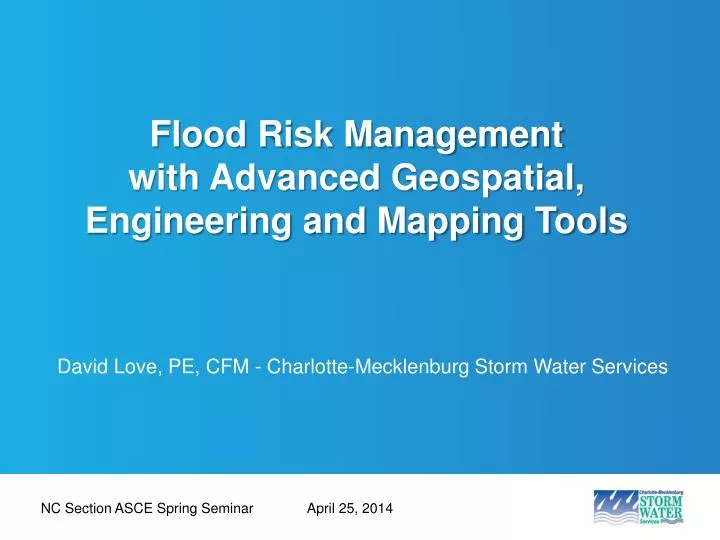
Flood Risk Management with Advanced Geospatial, Engineering and Mapping Tools. David Love, PE, CFM - Charlotte-Mecklenburg Storm Water Services. NC Section ASCE Spring Seminar. April 25, 2014. Overview. Introduction National Flood Insurance Program Mecklenburg County

E N D
Flood Risk Management with Advanced Geospatial, Engineering and Mapping Tools David Love, PE, CFM - Charlotte-Mecklenburg Storm Water Services NC Section ASCE Spring Seminar April 25, 2014
Overview NC ASCE Spring Seminar Introduction National Flood Insurance Program Mecklenburg County 3D Interactive Floodzone Mapping & Flood Map Review Risk Analysis Risk Reduction & Losses Avoided Tools Recap
Early National Flood Insurance Program NC ASCE Spring Seminar National Flood Insurance Act of 1968: • Better indemnify individuals for flood losses through insurance; • Reduce future flood damages through State and community floodplain management regulations; and • Reduce Federal expenditures for disaster assistance and flood control. Flood Disaster Protection Act of 1973 • Mandatory purchase requirement • Community participation required for Federal assistance National Flood Insurance Reform Act of 1994 • Increased limit on amount of coverage • Increased Cost of Compliance • Community Rating System
Charlotte-Mecklenburg County Overview NC ASCE Spring Seminar
Charlotte-Mecklenburg Flood Mitigation Program History NC ASCE Spring Seminar Mecklenburg County Drainage Commission - 1911 Initial Floodplain Boundary Maps in August 1978 Charlotte-Mecklenburg Storm Water Services formed in 1993 following NPDES Phase I storm water regulations Funded primarily through County-wide storm water fee County / City roles Program Responsibilities Current Staff – 9 Current MCFMP Budget – $2.1 Million
Flood History in Charlotte, NC NC ASCE Spring Seminar • Nearly 50 major flood events in the past century • 17 known deaths and more than $80 million in property damage • Heavy impact from tropical systems • Tropical Storm Jerry, 1995 • Tropical Storm Danny, 1997 • Tropical Storm Fay, 2008
Effective Floodplain Mapping • Effective maps in transition from 2004 County-wide FIS • 350 miles of detailed study streams • 32 watersheds • FEMA and Community flood fringe and floodway • DFIRM in state-wide format effective March 2, 2009 with 184 panels • Remapping began in 2007 on two basins • PMR 1 area effective February 19, 2014 • PMR 2 estimated for 2015, PMR 3 in 2016 NC ASCE Spring Seminar
3D Interactive Floodplain Mapping NC ASCE Spring Seminar
Property Search NC ASCE Spring Seminar
Flood Map Review NC ASCE Spring Seminar
Property Search NC ASCE Spring Seminar
Flood Risk Data Hierarchy Flood Risk Personalysis • Paper Flood Maps NC ASCE Spring Seminar
Flood Risk Data Hierarchy Flood Risk Personalysis • Paper Flood Maps NC ASCE Spring Seminar • Digital Flood Data (FEMA FIRM Database / NFHL)
Flood Risk Data Hierarchy Flood Risk Personalysis • Changes Since Last FIRM (Non-Regulatory) • Paper Flood Maps NC ASCE Spring Seminar • Digital Flood Data (FEMA FIRM Database / NFHL)
Flood Risk Data Hierarchy Flood Risk Personalysis • Generalized Flood Risk Assessments (Non-Regulatory) • Changes Since Last FIRM (Non-Regulatory) • Digital Flood Data (FEMA FIRM Database / NFHL) • Paper Flood Maps NC ASCE Spring Seminar
Flood Risk Data Hierarchy Flood Risk Personalysis • Flood Depth & Analysis Grids (Non-Regulatory) • Generalized Flood Risk Assessments (Non-Regulatory) • Changes Since Last FIRM (Non-Regulatory) • Digital Flood Data (FEMA FIRM Database / NFHL) • Paper Flood Maps NC ASCE Spring Seminar
Flood Risk Data Hierarchy Flood Risk Personalysis • Water-Surface Elevation Grids (Non-Regulatory) • Flood Depth & Analysis Grids (Non-Regulatory) • Generalized Flood Risk Assessments (Non-Regulatory) • Changes Since Last FIRM (Non-Regulatory) • Paper Flood Maps NC ASCE Spring Seminar • Digital Flood Data (FEMA FIRM Database / NFHL)
Flood Risk Data Hierarchy Flood Risk Personalysis • Building-Specific Information • Finished Floor Elevation (FFE) • Building Footprint • Structure/Occupancy Type • Structure/Contents Replacement Value • Water-Surface Elevation Grids (Non-Regulatory) • Flood Depth & Analysis Grids (Non-Regulatory) • Generalized Flood Risk Assessments (Non-Regulatory) • Changes Since Last FIRM (Non-Regulatory) • Paper Flood Maps NC ASCE Spring Seminar • Digital Flood Data (FEMA FIRM Database / NFHL)
RARRT Concept Overview NC ASCE Spring Seminar Three step process
Flood Risk Score NC ASCE Spring Seminar • Impact-based scoring • Determined by assigning probability (return period) to various flood impacts (damage or loss) to property • Location-based scoring • Multiplier to impact-based scores for structures located in known risk zones • Depth-velocity hazard zones • Proximity to storm drainage overflows
Impact-based Scoring NC ASCE Spring Seminar • Each property independently assessed in GIS using aerial imagery, flood model data, building footprints, elevation certificates and other County data layers
Location-based Multiplier NC ASCE Spring Seminar • Depth-Velocity Hazard Zones • Created using velocity and flood depth rasters developed from effective HEC-RAS models • Determined using depth-velocity curves tied to safety criteria for people • High danger = Significant hazard to adults • Moderate danger = Significant hazard to children
Flood Mitigation Techniques NC ASCE Spring Seminar • Mitigation recommendations made for each flood prone property • Each of 19 mitigation techniques evaluated and placed into one of four categories:
Losses Avoided Tool • Data Requirements • Source data • High Water Marks • Updated when new events occur • Mitigation Implementation • Updated as new mitigations occur • WSEL rasters • Vehicle parking • Property improvements • Parcels • Building replacement value lookups NC ASCE Spring Seminar
Losses Avoided • Data Requirements (cont’d) • Storm-specific information • High Water Marks • Building replacement value lookups(at time of event) • Displacement cost per sq.ft.(at time of event) • Emergency responder cost (at time of event) NC ASCE Spring Seminar
FIRM Panel 4542 NC ASCE Spring Seminar
Water Surface Elevation Grid NC ASCE Spring Seminar
Water Surface Elevation Grid NC ASCE Spring Seminar
Water Surface Elevation Grid NC ASCE Spring Seminar
Water Surface Elevation Grid NC ASCE Spring Seminar
Water Surface Elevation Grid NC ASCE Spring Seminar
Water Depth Grid NC ASCE Spring Seminar
Recap NC ASCE Spring Seminar NFIP & minimum national requirements Local program requirements – higher standards Web-based delivery of maps and risk products Parcel-level automated risk analysis tool Losses avoided tool
Thank You David Love: david.love@mecklenburgcountync.gov NC ASCE Spring Seminar April 25, 2014