Download
1 / 15
150 likes | 307 Views
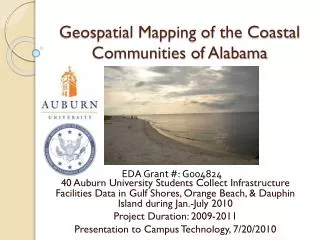
GeoSpatial Mapping of the Implications of Climate Change. Dr Parris Lyew-Ayee & Dr Ava Maxam Mona GeoInformatics Institute UWI. Climate Change & Jamaica. Climate change causes: Extreme weather Sea level rise. Jamaica vulnerable to 4 major hazards 3 may be affected by climate change:

E N D
GeoSpatial Mapping of the Implications of Climate Change Dr Parris Lyew-Ayee & Dr Ava Maxam Mona GeoInformatics Institute UWI
Climate Change & Jamaica • Climate change causes: • Extreme weather • Sea level rise • Jamaica vulnerable to 4 major hazards • 3 may be affected by climate change: • Hurricanes • Flooding • Landslides • Earthquakes • 150 coastal communities in Jamaica • 542k people in coastal communities
Hurricanes • Wind Damage • Heavy Rainfall • Flooding • Landslide
Coastal Flooding • Storm Surge • Sea Level Rise • Ground Water Salinization • Coastal Erosion • Tsunami
Coastal flooding - Communities Coastal flooding – Hazard Extent
Gully Network Current gully network vs 1940 drainage network Kingston Gully Network
Hazards: Coastal Flooding 0.5m – 10m Southern Clarendon and St Catherine Harbour View Old Harbour Bay
Hazards: Inland Flooding Ocho Rios Eastern Jamaica Hope River Valley Papine – Gordon Town Kennedy Grove
Hazards: Landslides Landslide Engineering Zones Landslide Activity in KSA Jack’s Hill
Conclusions • Lots of information available • Primary land survey information, as well as baseline terrain and geophysical information • Secondary infrastructural and social data • Multi-scale contextualization • Scenario-building possibilities • Climate change is inevitable; adaptation and mitigation is key • GIS is tool