Download
1 / 12
120 likes | 293 Views
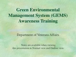
GEMS Geospatial Environmental Mapping System Introduction and Live Demonstration. Elaine Pilz and Keith Miller S.M. Stoller Corporation. What Is GEMS?. A Web-based electronic data tool A Web-based dynamic mapping tool

E N D
GEMSGeospatial Environmental Mapping SystemIntroduction and Live Demonstration Elaine Pilz and Keith MillerS.M. Stoller Corporation
What Is GEMS? • A Web-based electronic data tool • A Web-based dynamic mapping tool • A system that allows stakeholders and the publicto access the large volume of environmental data collected as part of the U.S. Department of Energy (DOE) Office of Legacy Management’s (LM) long-term surveillance and maintenance activities at remediated sites
Background for GEMS • LM has responsibility for 87 sites as of the end of FY 2010 • Sites that were formerly part of the nation’s nuclear weapons production effort • Sites are spread across 28 states and the Commonwealth of Puerto Rico • One of LM’s goals is to make legacy information accessible
Geospatial Environmental Mapping System (GEMS) • Created in 2002 and since then has evolved and has been enhanced • 58 LM sites have webpages in GEMS • A custom-designed software application that provides interactive mapping and environmental monitoring data for the managed sites
Objectives of GEMS • Communicate our monitoring information to our stakeholders and the public • Make data readily accessible about each LM site using the Internet at http://gems.LM.doe.gov • Implement a design that helps users easily visualize the relationships between data and geography • Allow users to map validated geochemical and hydrologic data from the LM Environmental Database
Who Uses GEMS? • Internal and external consumers • Stakeholders and regulators (municipal, state, federal, tribal government, community groups) • LM • Site managers • LM support contractor • Site managers and site leads • Scientists (geologists, hydrologists, researchers) • Field staff (samplers, inspectors)
Major Components of GEMS • LM Environmental Database • 4.3 million analytical chemistry results and field chemistry measurements (as of October 19, 2010) • 222,631 water level measurements • 38 years of sampling data • Geospatial layers • Aerial imagery for each site
What Is in GEMS? • Sampling locations • Analytical chemistry data • Groundwater depths and elevations • Well construction and lithology logs • Boundaries – site, disposal cell • Base map entities (roads, fences, water bodies, rivers) • Aerial imagery • Topographic maps • On-site photographs
Capabilities of GEMS • Interactive mapping • Environmental data querying • Applying reported data in many ways • Graph to identify trends • Post as labels on the interactive map • Add analyte concentration symbols to the map • Exporting data • Export to a spreadsheet • Export map to a PDF • See conference handout for more information
Technologies behind GEMS • Environmental Systems Research Institute (ESRI) Internet Mapping Service (ArcIMS) • Geocortex Internet Mapping Framework (IMF) • Oracle 10g Relational Database Management System • ESRI GIS (Geographic Information System)