Download
1 / 28
280 likes | 433 Views
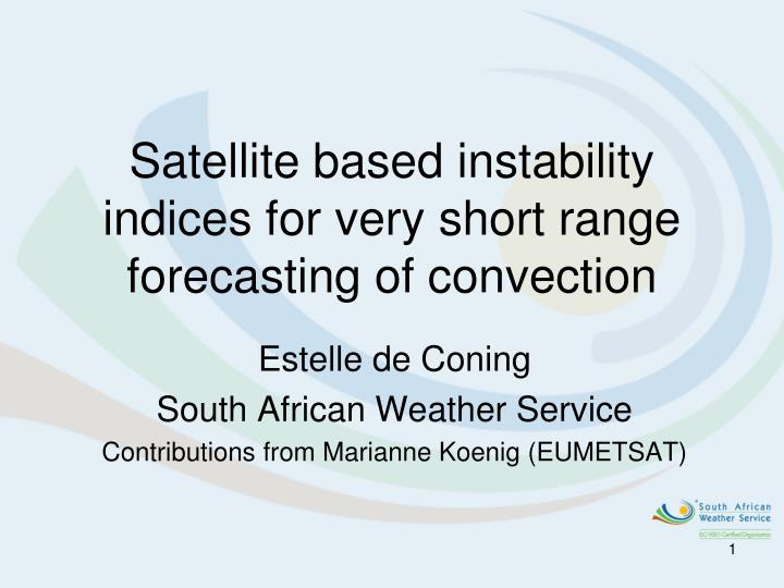
Satellite based instability indices for very short range forecasting of convection. Estelle de Coning South African Weather Service Contributions from Marianne Koenig (EUMETSAT). Content. EUMETSAT MPEF products Satellite based instability indices (GII) GII validated over SA Summary.

E N D
Satellite based instability indices for very short range forecasting of convection Estelle de Coning South African Weather Service Contributions from Marianne Koenig (EUMETSAT)
Content • EUMETSAT MPEF products • Satellite based instability indices (GII) • GII validated over SA • Summary
EUMETSAT MPEF (Meteorological Products Extraction Facility) • MPEF is part of the the source of the Meteorological Products provided by the MSG system • The list of products to be extracted from the MSG imagery has been agreed by EUMETSAT member states • As a general principle, the MPEF will extract products on a synoptic scale (< 100 km)
Algorithm Overview Satellite Model Data Radiative Transfer Model (RTM) SCE (scenes analysis) Cloud Aanalysisint CTH AMV CLA CSR TH TOZ HPI GII
MSG MPEF Products Baseline (distributed via GTS/EUMETCast/UMARF) • Atmospheric Motion Vectors (AMV) • Calibration Monitoring (CAL-MON) • Clear Sky Radiance (CSR) • Clear Sky Reflectance Map (CRM) • Climate Data Set (CDS) • Cloud Analysis (CLA) • Cloud Top Height (CTH) • Global Instability Index (GII) • ISCCP Dataset (IDS) • Precipitation Index (PI) • Total Ozone (TOZ) • Tropospheric Humidity (TH) Some internal Products: • Sea Surface temperature (SST) • Scenes Analysis (SCE) • Radiative Transfer Model (RTM)
Atmospheric instability: Using upper air ascents • Traditionally, these indices are taken from temperature and humidity soundings by radiosondes. • Instability indices are calculated using the vertical profile of moisture and temperature
Atmospheric instability: Using NWP • Since numerical weather prediction modelscan forecast these factors of the atmosphere, they can forecast the instability as well.
Atmospheric instability: The Global Instability Index (GII) • As radiosondes are only of very limited temporal and spatial resolution there is a demand for satellite-derived indices which can provide the information every 15 minutes! • The basis of the GII methodology is: • Together with the satellite measured brightness temperaturesand some a priori information of the atmospheric profile (from the Numerical Weather Prediction model) a local profile is derived, and instability indices are computed from this local profile.
History – USA and GOES • A global (Meteosat) coverage of instability information (GII = Global Instability Indices) satellite product was one of the drivers of the channel definition on MSG • Heritage: Similar products from the GOES Sounder, provided by CIMSS (Univ. Wisconsin) Shades of brow stable air Blue to yellow to red increasing instability
MSG Channels 1 = VIS0.6 2=VIS0.8 3=NIR1.6 12=HRV 12 available channels on MSG, 4 in the solar spectral range (VIS), 8 in the infrared (IR) 4=IR3.9 5=WV6.2 6=WV7.3 7=IR8.7 8=IR9.7 9=IR10.8 10=IR12.0 11=IR13.4
MSG channels we cannot use for a vertical profile of temperature and humidity No temperature/humidity information in solar channels 1 = VIS0.6 2=VIS0.8 3=NIR1.6 12=HRV Temperature information in IR3.9 mixed with solar contribution (during daytime) 4=IR3.9 5=WV6.2 6=WV7.3 7=IR8.7 Too much ozone information in IR9.7 8=IR9.7 9=IR10.8 10=IR12.0 11=IR13.4
MSG channels useful for a vertical profile Humidity information in various levels 5=WV6.2 6=WV7.3 7=IR8.7 9=IR10.8 10=IR12.0 11=IR13.4
MSG Information Content Humidity information in various levels Information on surface temperature 5=WV6.2 6=WV7.3 7=IR8.7 9=IR10.8 10=IR12.0 11=IR13.4
MSG Information Content Humidity information in various levels Information on surface temperature 5=WV6.2 6=WV7.3 7=IR8.7 Information on mid-level air temperature 9=IR10.8 10=IR12.0 11=IR13.4
Retrieval Concept (1) • From NWP: Forecast temperature and humidity profile: T(p), q(p)
Retrieval Concept (1) • From NWP: Forecast temperature and humidity profile: T(p), q(p) Radiative transfer model Expected MSG brightness temperatures in 6 channels TB (MSG)
Retrieval Concept (1) • From NWP: Forecast temperature and humidity profile: T(p), q(p) Radiative transfer model Expected MSG brightness temperatures in 6 channels TB (MSG) Compare with measurements TB(NWP) – TB(MSG) : The temperature differences are used to change the initial profile, Tn(p), qn(p)
Retrieval Concept (1) • Updated temperature and humidity profile: Tn(p), qn(p) Radiative transfer model Expected MSG brightness temperatures in 6 channels TB (MSG) Compare with measurements TB TB(NWP) – TB(MSG) : The temperature differences are used to change the initial profile
Retrieval Concept (1) In every iteration of this process we check: Is (TB(NWP) – TB(MSG)) small? If yes, the process is stopped and the last profile is taken as the “best” solution
MSG channels 5,6,( WV) 7,9,10 and 11 (IR) are currently used for calculations • The GII product consists of a set of instability indices which describe the layer stability of the atmosphere: • K index, • Lifted Index, • Precipitable Water • KO Index • Maximum Buoyancy • The retrieval of these parameters from satellite data is only possible under cloud-free conditions.
Lifted Index Sturtevant (1995)
K-Index Sturtevant (1995)
10 16 14 16 12 13 13 21 34 41 59 52 35 14 15 MSG MPEF Product: Global Instability Index (GII) example of PW Example of a total precipitable water retrieval, co-located radiosonde observations are also shown
MSG Convection RGB (Ch5-6,Ch4-9,Ch3-1) at 14:42 UTC on 6 Nov 2005
Summary • Satellite based instability indices make it possible to say something about atmospheric stability/instability for thunderstorm forecasting in areas where upper air ascents are not available • Combining the vertical profile of the satellite data (using 6 channels) with the NWP profile, adds observation data (from satellite) to the NWP fields • Satellite instability indices can be calculated every 15 min (MSG) • Data sources should always be used to complement one another and not to replace one another.