Download
1 / 8
80 likes | 100 Views
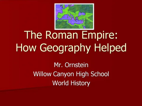
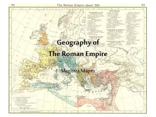
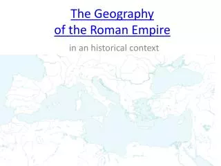
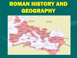
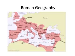
Explore the geography of the Italian Peninsula and its impact on trade, natural defense, main rivers, climate, and resources of ancient Rome.

E N D
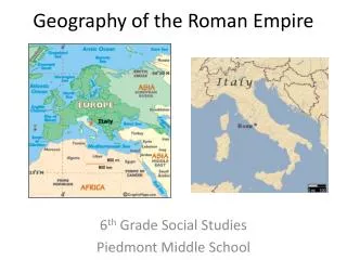
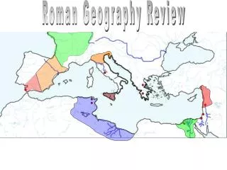
The Land • The peninsula is about three times the size of Greece. • Shaped like a boot. • Harder to find good harbours throughout Rome than in Greece. • Most were on the west side because of the Apennine Mountain range on the east side.
Trade • Being on the coast trade thrived throughout Rome and the Mediterranean World. • Rome was Strategically located in the centre of the Mediterranean region so they could easily reach the Middle East, Greece, Spain, and North Africa. • Most of Italy was either hilly or mountainous. • What effect would this have? • Travel and communication over land was difficult.
Natural Defense System • Being surrounded by the Apennine Mountains along the east coast and the Alps to the North helped protect Rome from invasion. • Fertile land was located in 3 main areas: • The Northern Plains (enriched by the Po River) • Latium (enriched by phosphate from volcanoes) • Campania (enriched by phosphate from volcanoes) • The Land did not produce enough food to support the Population increase. • What to do? • Set up colonies (similar to Greece)
Main Rivers • Po, Arno, and Tiber. • Rome developed on the shoreline of the Tiber. • Why? • Water source for homes, life, and access to the sea (trade) • Later the Romans built a port at Ostia to handle large ships and military.
Climate • For the most part: Rainy winters, hot dry summers (Medit.) • In the North around the Po River it was: snowy winter, summer rain and wet spring and fall. (Similar to us.)
Resources • Wheat, grape and olive production • Limestone • Marble • Concrete (mixed volcanic dust with water) • Copper • Imported tin to mix with it to make bronze. • Iron • Timber from the Apennine Mountains