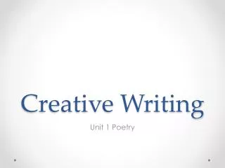
Creative Visualizations: Napoleon’s March
Creative Visualizations: Napoleon’s March. Detecting Spatial Patterns: Snow’s Cholera Map. Tobler’s First Law of Geography. “Everything is related to everything else, but near things are more related than distant things.”. Neighborhood Effects.


Creative Visualizations: Napoleon’s March
E N D
Presentation Transcript
Tobler’s First Law of Geography • “Everything is related to everything else, but near things are more related than distant things.”
Neighborhood Effects • Even if we don’t care about spatial effects, we have to control for them otherwise we can’t trust parameter estimates on the variables we do care about!
Types of spatial autocorrelation POSITIVE NEGATIVE Near Zero (Randomness)
Choice of spatial scale: Modifiable Areal Unit Problem (MAUP) Moran’s I = -1.00 Moran’s I = 0.33
Election map wallpaper Here are some images of the election maps, sized for use as "wallpaper" on your computer desktop. Red States and Blue States?
Projections • http://egsc.usgs.gov/isb/pubs/MapProjections/projections.html • Using this website, find the answer to the questions: • Why are there so many different projections? • What is the ‘best’ projection? • What is the problematic about the popular Mercator projection?
Great Circle Routes • Why, when flying to Europe from the US, do you go way up and over Greenland and then back down? Why do we fly so far out of the way? • http://blogan.net/blog/2009/03/23/great-circle-route-pdx-ams/
Satellite Imagery, Aerial Imagery and Remote Sensing • Who are the possible “customers” for these kind of data? • What are the possible uses?
Satellites • http://www.n2yo.com • Find out where the satellite called GeoEye 1 is right now? Is it in daylight? Find out all of its passes for the next 5 days. At what time on what day will it next fly by closest to Cleveland?
Satellites for Human Rights & conflict prevention? • http://www.eyesondarfur.org • Press the “satellite evidence” tab. Select a village and examine before and after pictures. What conclusions can you draw about what took place on the ground? • Scroll to the bottom of this page: http://www.eyesondarfur.org/satellitetech.html • What type of human rights violation is being documented here? By whom? Where is this taking place? • Can you think of any other uses of satellite imagery for conflict prevention and human rights?
The UN Charter • Under what conditions should the UN Charter be activated, releasing the latest satellite imagery for free to disaster relief agencies? • http://www.disastercharter.org/activate • What are the steps one must take to activate the charter? How can the UN charter be activated during a disaster? Who can initiate the activation of the charter?
George Clooney and Sudan • http://www.satsentinel.org/ • Can we find any evidence of N. Sudanese troop movements/mobilizations in toward the southern border? • Will the eyes of the international community “watching” what is taking place in repressive regimes have a deterrent effect or change behavior?