Download
1 / 6
60 likes | 257 Views
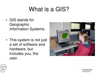
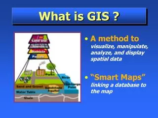
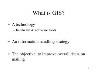
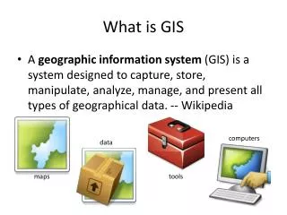
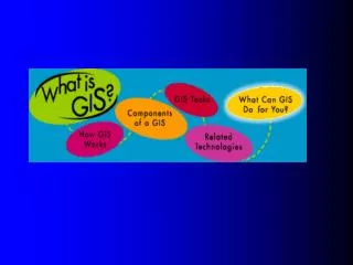
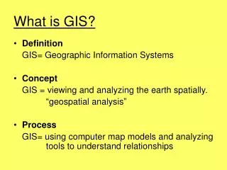
What is GIS?. Definition GIS= Geographic Information Systems Concept GIS = viewing and analyzing the earth spatially. “geospatial analysis” Process GIS= using computer map models and analyzing tools to understand relationships. ESRI Software.

E N D
What is GIS? • Definition GIS= Geographic Information Systems • Concept GIS = viewing and analyzing the earth spatially. “geospatial analysis” • Process GIS= using computer map models and analyzing tools to understand relationships
ESRI Software • ArcGIS Desktop 8.2 from ESRI (esri.com) • ArcGIS: 3 levels of functionality and price ArcInfo Arc Editor Rhodes uses ArcView ArcView
ArcGIS is divided into 3 parts: Arc Map Displays & investigates maps ArcGIS Arc Catalog Manages spatial data Arc Toolbox Converts data
Formats Arc Map Tools Table of Contents Display: map
Formats Arc Catalog (data) Arc Toolbox (tools) Tools in Tree structure Tools Data in Tree Structure Display: thumbnail graphics of data * * * preview & metadata tabs for more info about data
Folder Hierarchy Project.mxd maps layers surface feature . Raster data = numbers Vector data = KEEP ALL THESE IN ONE FOLDER