What is GIS
What is GIS. A geographic information system (GIS) is a system designed to capture, store, manipulate, analyze, manage, and present all types of geographical data. -- Wikipedia. computers. data. maps. tools. Geography is visualized in maps. map. www.arcgis.com. Maps are built from data.

What is GIS
E N D
Presentation Transcript
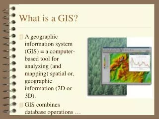
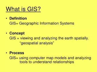
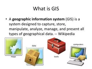
What is GIS • A geographic information system (GIS) is a system designed to capture, store, manipulate, analyze, manage, and present all types of geographical data. -- Wikipedia computers data maps tools
Geography is visualized in maps map www.arcgis.com
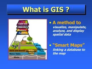
Maps are built from data Road Name: E. Dean Keeton St Type: Div Highway Speed: 35 mph Shape: [Geometry] Building data Name: Ernest Cockrell Jr Hall Address: 301 E. Dean Keeton St Shape: [Geometry] Shape includes the geometry of the feature and where it is located on earth map
Vector data represent discrete features points lines data polygons map
More Raster Examples data land use rainfall elevation map
There are many more data types multipatch triangulated irregular network data Martin Luther King Dr W map annotation
Connected Map, Chart and Animation Tropical Storm Fernand http://www.msnbc.msn.com/id/26295161/ns/weather/
Geographic Data Model • Conceptual Model – a set of concepts that describe a subject and allow reasoning about it • Mathematical Model – a conceptual model expressed in symbols and equations • Data Model – a conceptual model expressed in a data structure (e.g. ascii files, Excel tables, …..) • Geographic Data Model – a conceptual model for describing and reasoning about the world expressed in a GIS database
Spatial Data: Vector format Vector data are defined spatially: (x1,y1) Point - a pair of x and y coordinates vertex Line - a sequence of points Node Polygon - a closed set of lines
Kissimmee watershed, Florida Themes
Raster and Vector Data Raster data are described by a cell grid, one value per cell Vector Raster Point Line Zone of cells Polygon
Santa Barbara, California http://srtm.usgs.gov/srtmimagegallery/index.html
Origin of Geographic Coordinates Equator (0,0) Prime Meridian
Latitude and Longitude Longitude line (Meridian) N W E S Range: 180ºW - 0º - 180ºE Latitude line (Parallel) N W E S (0ºN, 0ºE) Equator, Prime Meridian Range: 90ºS - 0º - 90ºN
60 N 30 N 60 W 120 W 90 W 0 N Latitude and Longitude in North America Austin: Logan: (30°18' 22" N, 97°45' 3" W) (41°44' 24" N, 111°50' 9" W)
Map Projection Flat Map Cartesian coordinates: x,y (Easting & Northing) Curved Earth Geographic coordinates: f, l (Latitude & Longitude)
Representative Fraction Globe distanceEarth distance = Earth to Globe to Map Map Projection: Map Scale: Scale Factor Map distanceGlobe distance = (e.g. 0.9996) (e.g. 1:24,000)
Coordinate Systems A planar coordinate system is defined by a pair of orthogonal (x,y) axes drawn through an origin Y X Origin (xo,yo) (fo,lo) Projected Coordinates Geographic Coordinates