Download
1 / 8
80 likes | 154 Views
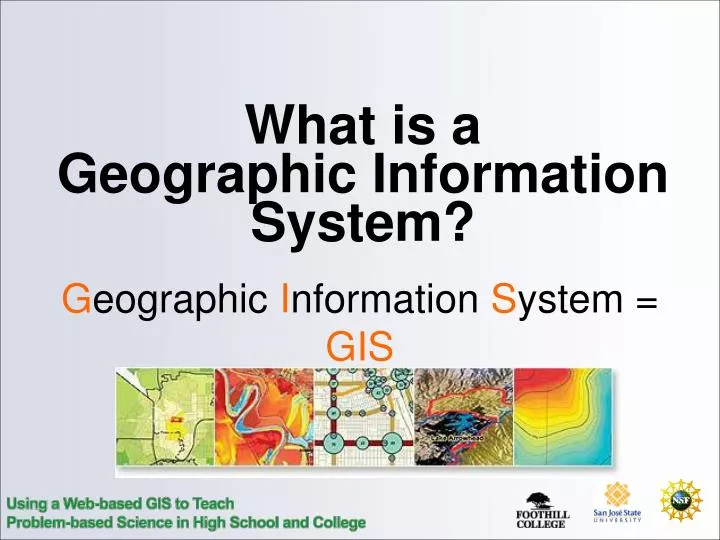
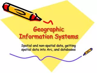
What is a Geographic Information System?. G eographic I nformation S ystem = GIS. What is a GIS?. Maps. What is a map?.

E N D
What is a Geographic Information System? Geographic Information System = GIS
What is a map? “A graphic depiction of all or part of a geographic realm in which the real-world features have been replaced by symbols in their correct spatial location at a reduced scale.” power line
GIS (local software) Web maps/ Web GIS Progression Map
Map Web Map GIS • A map is static, a GIS is dynamic • A map has a single scale, a GIS is infinately scaleable • A map shows spatial relationships, while a GIS shows both spatial relationships and tabular data


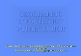


![Geographic Information System [GIS]](https://cdn2.slideserve.com/5315378/geographic-information-system-gis-dt.jpg)