Download
1 / 20
260 likes | 1.37k Views
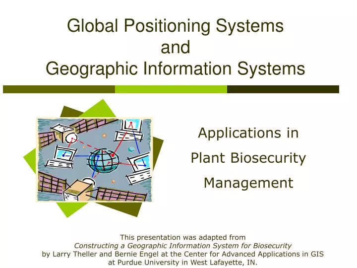
Global Positioning Systems and Geographic Information Systems. Applications in Plant Biosecurity Management. This presentation was adapted from Constructing a Geographic Information System for Biosecurity by Larry Theller and Bernie Engel at the Center for Advanced Applications in GIS

E N D
Global Positioning Systems and Geographic Information Systems Applications in Plant Biosecurity Management This presentation was adapted from Constructing a Geographic Information System for Biosecurity byLarry Theller and Bernie Engel at the Center for Advanced Applications in GIS at Purdue University in West Lafayette, IN.
Presentation Overview • Difference between GPS and GIS • Examples of GPS data collection • Examples of GIS software output • Potential of GPS and GIS technologies in a plant biosecurity management context
GPS versus GIS Global Positioning System (GPS): A satellite system that projects information to GPS receivers on the ground, enabling users to determine latitude and longitude coordinates. Global Information System (GIS): Software program that enable users to store and manipulate large amounts of data from GPS and other sources.
Examples of GPS and GIS: Global Positioning System (GPS): An agricultural producer may use a handheld GPS receiver to determine the latitude and longitude coordinates of a water source next to a field or vineyard. Global Information System (GIS): Following a chemical spill, maps obtained from a GIS system can reveal environmentally-sensitive areas that should be protected during response and recovery phases. Source: Purdue University
GPS data gathering Depending on the make and model of the unit, the number of satellites available, and the quality of (unobstructed) signals, GPS receivers can collect information such as • Latitude and longitude coordinates (time-in-place or point location) • “Real Time” position (calculated while farm equipment is moving) • Elevation (if 4 or more satellites are used)
With GIS software, information from a GPSunit may be combined with data such as The Result: “Layered” maps can be generated by the GIS software. • USGS topographical maps • Digital elevation models • Critical infrastructure maps • Aerial photography • Cropland use • Census maps
Example of Map “Layers” A GIS database creates “layers” with many pieces of information visualized for the same area. Yield data – collected using GPS Topsoil Depth - collected using GPS Aerial photo of the area Source: University of Missouri
This layered map shows a potential disaster impact area outlined in white by GIS software. Source: Purdue University
Did you know… GIS information and maps have a variety of uses in the agricultural sector, including the potential to assist preparedness, response, recovery, and mitigation efforts in plant biosecurity management.
Case example: Responding to Plant Biosecurity Problem Source: Purdue University Situation: Confirmed case of a plant disease in a small test plot.
Case example -- continued Facts: • Disease spores may be spread by the wind. • Combine used in this field was not disinfected. • Two neighbors borrowed the combine. • Combine traded and shipped from dealer by rail. • Estimated range of movement of disease is one mile. Response Task: • Notify all farms within one mile of the infected field, neighbors’ fields, highway, and railroad.
First, information such as wind direction, speed, and durationare entered in to an existing GIS database for the area. Source: Purdue University
Next, “queries” are run to retrieve information from the GISdata base, such as a map of the potential impact area. Green dots represent farms in the potential impact area. This particular database allows one to “zoom in” on the green dots to obtain aerial photos. Source: Purdue University
Other queries can be run, to obtain maps of highways and railways . . . Source: Purdue University
. . . and to identify affected farms within a designated quarantine area. Source: Purdue University
If the established GIS database is extensive, detailed information may be obtained, such as producers’ names, phone numbers, and exact locations, facilitating rapid response efforts. Source: Purdue University
Synthesis Questions for Extension Educators: • How would you justify the need for a comprehensive GIS database in your area? • What types of database reports would be needed to effectively respond to a plant biosecurity outbreak? • How can GPS and GIS technologies assist producers’ mitigation and preparedness efforts?
Key Points to Remember • GPS is a system of satellites. Receivers identify point-specific and “real-time” locations • GIS software programs can merge data from GPS and numerous other sources • Maps and tables from GIS programs can facilitate responders’ fast and accurate response to a plant biosecurity problem • GPS and GIS technologies can assist producers’ mitigation and preparedness efforts by identifying potential impact areas and areas vulnerable to intentional and unintentional biosecurity problems
References Davis, G., Casady, W. & Massey, R. (1998). Precision Agriculture: An Introduction. Publication Number WQ450. University of Missouri-Columbia. Pfost, D., Casady, W., & Shannon, K. (1998). Precision Agriculture: Global Positioning System (GPS). Publication Number WQ452. University of Missouri-Columbia. Theller, L., and Engel, B. (2004). Constructing a Geographic Information System for Biosecurity. Center for Advanced Applications in GIS, Ag and Biological Engineering Department, Purdue University. Special thanks to Larry Theller and Kent Shannon for helping to review this presentation.
For your information . . . Now return to Lesson 5, Teaching Scenario 2