Download
1 / 19
190 likes | 347 Views
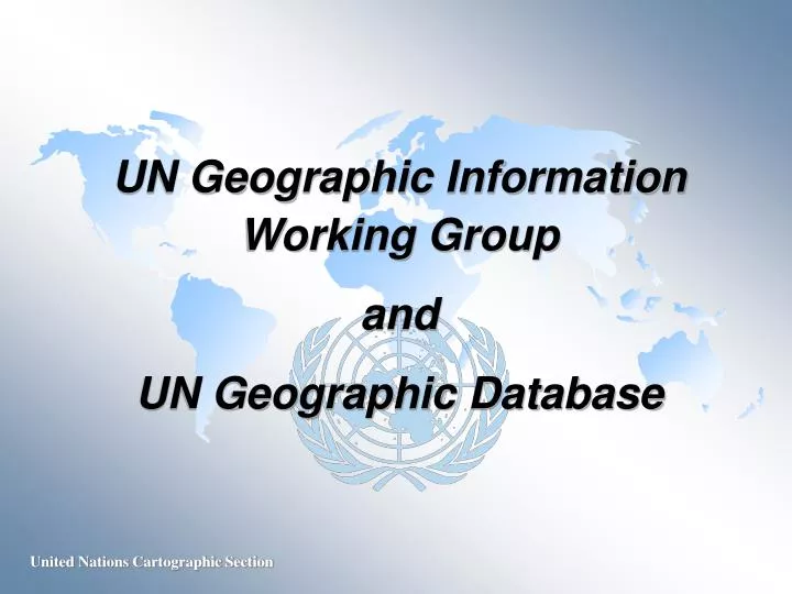
UN Geographic Information Working Group and UN Geographic Database. UN Geographic Information Working Group UNGIWG. An inter-agency group consists of focal points and professionals working or interested in GI within the UN.

E N D
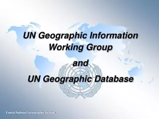
UN Geographic Information Working Group and UN Geographic Database
UN Geographic Information Working Group UNGIWG An inter-agency group consists of focal points and professionals working or interested in GI within the UN 1st meeting – March 2000, New York, hosted by Cartographic Section 2nd meeting – March 2001, Rome, hosted by FAO 3rd meeting – April 2002, Washington D.C., hosted by World Bank
UNGIWG Objectives • To promote the use of geographic information within the United Nations system and Member States for better decision-making • To identify and implement protocols for sharing, maintaining and assuring the quality of geographic information within the United Nations system for efficient and cost effective use of such information with close co-operation with Member States, non-governmental organizations, research institutions and industry • To develop and maintain a common geographic database as a crucial capacity-building effort to enhance normative, programme and operational capabilities and efficiencies within the United Nations system
UNGIWG Task Groups Metadata and clearinghouses Framework data – international boundaries (land and maritime) and coastlines Framework data – administrative boundaries Remote sensing and satellite imagery Field operations Cartographic guidelines Training And a UN GI Strategic Plan
United Nations Geographic Database “To develop and maintain a global geographic database consisting of basic cartographic elements and toponymic information, which would serve as a geo-referenced base for overlaying and exchanging information within the UN system. Such a database would reflect appropriately the views and policies of the United Nations, and should be viewed as a crucial capacity building effort that will revolutionalize the way various components of the Organization interact in pursuit of common goals.”
Creating a UN Geographic DatabaseProposal approved by the UN Foundation Phase 1 – programme development Duration: 1 year Implementing Partners: Cartographic Section, Department of Public Information Department of Political Affairs Department of Peace-keeping Operations Office for the Coordination of Humanitarian Affairs UNGIWG serves as an advisory body and provide project monitoring and technical support
Programme Activities • Strategic Plan • Needs assessment • Data models and ISO compliant standards • System architecture • Data Policy • Collaborative arrangement • Project sustainability including capital investment plan Geographic Data Inventory and Clearinghouse Inventory survey Clearinghouse architecture and metadata conventions UN geographic data clearinghouse
Programme Activities (cont.) • Quick Impact Data Development • Data format and coding scheme • Framework data sets • Country profile database • Assemble available global data sets Application Pilot
OPERATION STABILISE: INTERFET PRESENCE CORRECT AS AT 13 1600 (NEW YORK) OCT 99 10 Oct Militia 9 Oct HQ WESTFOR COUNTRIES DEPLOYED ARE: AUSTRALIA, NEW ZEALAND, UK, US, BRAZIL, PHILIPPINES, MALAYSIA, FRANCE, THAILAND (Deputy Commander) INTERFET PRESENCE MILITIA ACTIVITY
GIS Pilot Project for Peacekeeping Typical layers of a mission’s Geo-Cell Mission & Sector HQs Peacekeeper locations Troop locations Boundary Lines of Communications (LOC) Hydrographic features Land usage & Mine fields Topographic features ... and somehow connected . . . You will get it, in a near real-time basis Life Saving Technology !!!
OCHA Coordination of Humanitarian Affairs Humanitarian Affairs
The Security Council… Close attention to: working methods procedures flow of info Better informed via new approach to enhanced briefings
Guinea Kabala Lungi Loi Makeni Port Loko Lungi Masiaka Freetown Kailahun Benduma Bo Kenema Liberia
Mile 91 Grafton Waterloo Kenema Guinea Kabala Kambia Makeni Port Loko Lungi Freetown Kailahun Bo Liberia
DATA PROVIDERS TECHNOLOGIES STANDARDS USERS and DECISION MAKERS UN Agencies UNEP/FAO ISO/TC211 International And Regional NGOs UN Agencies Industry GSDI Security Council ISCGM PCIDEA PCGIAP Member States UNGIWG Industry MONITORING UN Geographic Database UN Geographic Database UN Views
Address of UN Secretary-Generalat AAG conference in March 2001 • “...last year we at the United Nations established a Geographic Information Working Group to improve the way in which the many entities in our far-flung system use cartographic and geographic information. One of the Group’s main goals is to establish a common UN Geographic Database. It will be working with national mapping agencies, non-governmental organizations, industry groups and research institutions.” • “…I encourage you to contact us and get involved, if you have not done so already.”