Download
1 / 35
350 likes | 501 Views
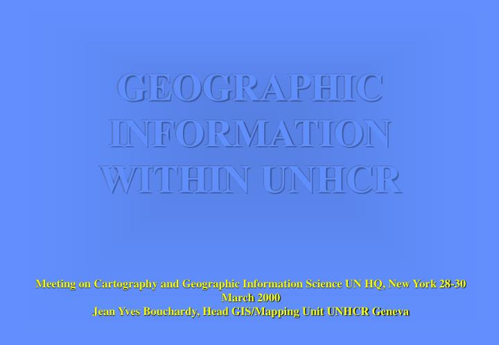
GEOGRAPHIC INFORMATION WITHIN UNHCR. Meeting on Cartography and Geographic Information Science UN HQ, New York 28-30 March 2000 Jean Yves Bouchardy, Head GIS/Mapping Unit UNHCR Geneva. BACKGROUND. IT IS A RECENT PROCESS: Project initiated in 1994

E N D
GEOGRAPHIC INFORMATION WITHIN UNHCR Meeting on Cartography and Geographic Information Science UN HQ, New York 28-30 March 2000 Jean Yves Bouchardy, Head GIS/Mapping Unit UNHCR Geneva
BACKGROUND • IT IS A RECENT PROCESS: • Project initiated in 1994 • Creation of a Geographic/Mapping Unit in 1999 • 2 staffs and one consultant… plus consultants in the field
WHY Geographic Information is essential within refugee operations?
Places of origin HCR presence Refugees/IDPs Camps Entry points
Have obvious geographical dimensions • Are core components of UNHCR operations • but are LOST in various reporting systems
OVERALL OBJECTIVES OF THE UNIT • Address and identify the needs regarding geographical information within UNHCR operations, (especially within emergency situations) • Provide technical support (Field and HQ) • Improve Inter-Agency cooperation • Increase awareness among UNHCR staff
ACHIEVEMENTS • UNHCR is the lead agency regarding GIS and RS applied to refugee operations • Fully operational geographical and environmental database for Field and HQ support (i.e. refugee camps database, UNEP, FAO, etc..) • UNHCR is a core member of the UN GIS working group (GIST). The aim of the group is to address geographic information needs and coordinate Inter-agency efforts during humanitarian operations (Kosovo/HCIC)
CURRENT ACTIVITIES • ENVIREF EU (Nansen Center, Norway) • FRAME (FFEM) • World Bank (DRC) • GDIN (US State Dept) • Technical agreement between HCR and WFP for GIS activities
SHORT TERM STRATEGY • Development of regional GIS “coordinators” to address geographic information at field level • to collect primary data needed for the operations • to reinforce geographic component whithin UNHCR programmes • to improve coordination at field level
LESSONS LEARNED FROM KOSOVO • Coordination is an essential key for success • Geographic information’s needs should be addressed at the earliest stage of an operation, ideally during the contingency phase • Collection of primary data, including precise geographical location of the places surveyed is crucial .. but extremely difficult to put in place.. • Standardization of geographic information (Pcode) is essential to allow communication between actors (common plateform) • Data Quality/Accuracy should be aimed at
COORDINATIONIMPLEMENTINGPARTNERSWho is Working Where in which Domain of Activity
Needs Assessment Monitoring and compliance
Shelter Country Offices Blocks Database Map
RIVER BANK EROSION CAMP PLANNING SCHOOLS
ENVIRONMENT ENVIRONMENTAL ASSESSMENT
LOCATION OF UNHCR REFUGEE SITES AND POTENTIAL DEGRADED AREAS IN GOMA (ZAIRE) UNHCR ENVIRONMENTAL DATABASE Image SPOT. 4,3,2 date 08 / 07 / 96
EVOLUTION OF DEFORESTATION FOR 3 DATES (KIBUMBA CAMP)1987 1994 1995-96 REFUGEE CAMP DEGRADED FOREST FOREST
DEFORESTATIONIN JHAPA AREA 1991 1997
Refugee Locations < 50km < 10 km < 5 km
Now ... Before...
NEEDS • UPDATED AND DETAILED INFORMATION ON • INTERNATIONAL BOUNDARIES • ADMINISTRATIVE UNIT • VILLAGES/SETTLEMENTS (PCODES) • PLUS ADDITIONAL THEMATIC DATA...
CONSTAINTS • TIMELY ACCESS TO DETAILED (25.000) AND RELIABLE DATA • INTERNAL PROCESS WITHIN UN AGENCIES REGARDING PRIMARY DATA COLLECTION, STORAGE AND ANALYSES.. We need to deploy Information Managers • RESOURCES
CONCLUSIONS • GEOGRAPHIC INFORMATION… • CREATES A COMMON LANGUAGE AMONG PARTNERS (“one good map is equivalent to 1000 words”) • ADDRESS THE NEEDS AND IMPROVES DATA COLLECTION PROCESSES • IMPROVES COORDINATION AMONG THE ACTORS • ALLOWS THE DEVELOPMENT OF AN INSTITUTIONAL MEMORY (keeps track of activities)