Download
1 / 15
150 likes | 269 Views
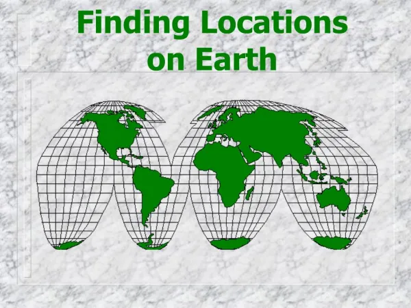
Dive into the essentials of geography with interactive map skills focused on continents, oceans, and directions. Today's agenda includes warm-up activities, rally tables exploring land and water, and round table discussions utilizing the "Cra-Zee Map." Students will learn about the Earth’s major oceans: Atlantic, Pacific, Indian, Arctic, and Southern, as well as its continents: North America, South America, Asia, Africa, Europe, Australia, and Antarctica. Gain a comprehensive understanding of cardinal, intermediate, and tertiary directions, hemispheres, climate zones, and the significance of the Equator and Prime Meridian.

E N D
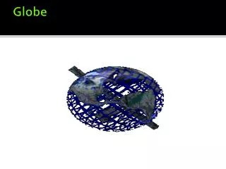
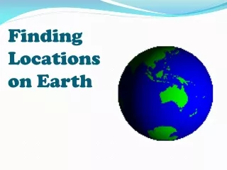
Locations on a Globe (GLEs 1,2) Today’s Agenda: Warm – Up Map Skills 1 – 2 Rally Table (Continents/Oceans/ Directions) Map Skills 3 – 5 Round Table Activity (Cra-Zee Map) Textbook: Read like a Historian (p. H3 – H27)
Map Skills – Part 1 There are 2 types of surfaces on the earth: Land and Water There are 5 oceans on the earth:Atlantic, Pacific, Indian, Arctic, Southern There are 7 continents on the earth: North America, South America, Asia, Africa, Europe, Australia, Antarctica
Map Skills – Part 2 There are 4 Cardinal directions. There are 4 Intermediate Directions. There are 8 Tertiary Directions. Remember (1 + 2 = 3) The Concept of 360 degrees. There are 4 hemispheres on the earth: North, South, East, West
Locations on a Globe (GLEs 1,2) Today’s Agenda: Warm – Up Map Skills 1 – 2 Rally Table (Continents/Oceans/ Directions) Map Skills 3 – 5 Round Table Activity (Cra-Zee Map) Textbook: Read like a Historian (p. H3 – H27)
Map Skills – Part 3 The Equator passes through the center of the earth. (0 degrees NS) The Prime Meridian passes through Greenwich, London, England. (0 degrees WE) The International Date Line passes over the ocean. (180 degrees WE)
Map Skills – Part 4 Latitude lines run west – east on the globe and are also called Parallels. From the equator to the north or south pole it is 90 degrees. Longitude lines run north – south on the globe and are also called Meridians. From the Prime Meridian to the International Date Line (I.D.L.) is 180 degrees.
Map Skills – Part 5 There are 3 major climatic zones: Tropical, Temperate, and Polar. The 4 other important lines of latitude include: Tropic of Cancer, Tropic of Capricorn, Arctic Circle, Antarctic Circle. Climate – The average weather conditions in a certain area over a long period of time. Weather – conditions at a specific time and place.
Locations on a Globe (GLEs 1,2) Today’s Agenda: Warm – Up Map Skills 1 – 2 Rally Table (Continents/Oceans/ Directions) Map Skills 3 – 5 Round Table Activity (Cra-Zee Map) Textbook: Read like a Historian (p. H3 – H27)