Download
1 / 1
10 likes | 126 Views
LC_39.9. Geostatistical Analyst Arc-GIS 8.1. BASE SATURATION MAP. SIGTERON Data. Reclassification. BASE SATURATION MAP 1- Distrofic soils (V% < 50%) 2- Eutrofic soils (V% > 50%). Fertility soil x Road distance 1- 1/1 2- 1/2 3- 2/1 4- 2/2.

E N D
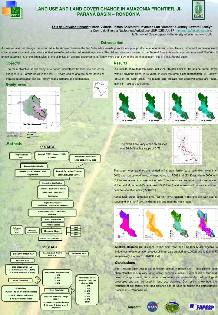
LC_39.9 Geostatistical Analyst Arc-GIS 8.1 BASE SATURATION MAP SIGTERON Data Reclassification BASE SATURATION MAP 1- Distrofic soils (V% < 50%) 2- Eutrofic soils (V% > 50%) Fertility soil x Road distance 1- 1/1 2- 1/2 3- 2/1 4- 2/2 Fertility soil x Road distance x Land Use change -2001 1- 1/1 2- 1/2 3- 1/3 4- 1/4 5- 1/5 6- 2/1 other Cross Tabulation ROADS MAP (BUFFER - 15 km around main roads) 1- untill 15 km to main roads 2- far away to main roads Cross Tabulation Land Use and Cover Change (2001) 1- Forest; 2- Agricultural area; 3- Savana; 4- Urban area; 5- Regrowth 1986 1992 1996 2001 • LAND USE AND LAND COVER CHANGE IN AMAZONIA FRONTIER, JI-PARANÁ BASIN – RONDÔNIA • Laís de Carvalho Hanadaa; Maria Victória Ramos Ballestera; Reynaldo Luiz Victóriaa& Jeffrey Edward Richeyb • a Centro de Energia Nuclear na Agricultura/ USP (CENA/USP) (lchanada@esalq.usp.br); • b School of Oceanography-University of Washington, USA Introduction A massive land use change has occurred in the Amazon basin in the last 3 decades, resulting from a complex product of economic and social factors, infrastructure development, soil characteristics and cultural factors that are reflected in the deforestation process. The Ji-Paraná basin is located in the State of Rondônia and comprises an area of 75,400 km2, encompassing 31% of the State. Most of the colonization projects accurred here. Today, more than 60% of the state population lives in the Ji-Paraná basin. Objects Results Our results show that the basin lost 20% (15,313 km2) of the original forest cover (without savanna class) in 15 years. In 2001 the forest class represented 41,100 km2 (55%) of the basin area. The results also indicate that regrowth areas are reuse, mainly in 1996 to 2001 period. The main objective of this study is to better understand the land use and cover changes in Ji-Paraná basin in the last 15 years and to analyze some drives of tropical deforestation like soil fertility, roads distance and settlements. Study area Methods The overall accuracy of the six classes was 86,34% with a kappa of 0,73. 1º STAGE Landsat-7/ETM+ Scenes (1999) 8 Scenes Topografic maps IBGE Scenes Data Acquisition 1986, 1992, 1996 e 2001 Geometric Rectification The larger forest patches are located in flat, poor fertile (base saturation lower than 50%) and scarce road area, corresponding to 17.563 km2 (23,30%), where 5056 km2 (6,7%) are located in conservation units. The forest patches on rich soils are located at the central part of Ji-Paraná basin (5,500 km2) and in areas with scarce roads and near conservation units (6550 km2). Agricultural areas comprise only 732 km2 (1%) located in distrofic soil with scarce roads and 1481 km2 (2%) in distroc soil and near the main roads. Landsat-7 e Landsat-5 Scenes (1986,1992,1996 e 2001) Landsat-7/ETM+ Scenes (1999) Registration Geometric Rectification Landsat-7 e Landsat-5 Images (1986,1992,1996 e 2001) Registration Digital Classification Supervised Classification (Maxver) Scenes (1986, 1992, 1996 e 2001) Classified Mask: 3x3 window Mosaics Scenes Reference points GPS Accuracy Assessment Thematic Maps Software: ERDAS_IMAGINE 8.5 Multiple Regression: Distance to the main road and Soil fertility are signifivative influences to deforestation processes in all data studied (p<0,0002) and (p<0,8 10-20), respectively (Software: STATISTICA) 2º STAGE Conclusions The Amazon basin has a big extension, almost 7 million km2. It has distinct land characteristics (soil quality, topography), economic, social. Examination of land and cover changes leads to a more comprehensive understanding of ecological processes and can be used in land use planning. Our results show how the influence of soil fertility and road distance can be used to explain the deforestation process in Ji-Paraná basin. Support: