Download
1 / 24
240 likes | 265 Views
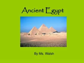
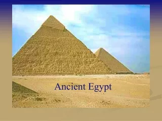
Discover the geographical regions of ancient Egypt, including the Nile River, the Nile Delta, Giza, the Red Sea, and the Sahara Desert. Learn about the importance of the Nile in Egyptian life and the various regions that made up ancient Egypt. Explore how the Nile served as a crucial source of food, water, transportation, and trade for the ancient Egyptians. Uncover the significance of the Nile's sources, the Blue Nile and White Nile, and the cities of Aswan and Khartoum in ancient Nubia. Delve into the fertile floodplain, the barren low desert, the rocky high desert, and the oasis regions. Understand the connection between the Nile and the development of ancient Egyptian civilization, including their religion and the construction of monumental structures like the pyramids.

E N D
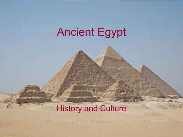
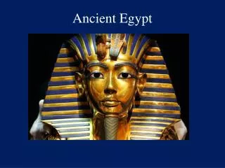
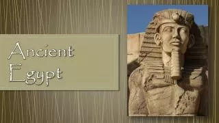
Ancient Egypt 8.2.3
Mediterranean Sea Nile Delta . Giza LE . Red Sea UE Aswan LN Sahara Desert Nile River . UN Eastern Desert Blue Nile Khartoum White Nile
4 Geographic Regions of Anc. Egypt • 1. The Nile- makes life possible • Longest river in the world • Main means of travel • Flows from S to N • Winds blow from the N • Important source of food • Water for bathing & drinking • Crucial for farming
4 Geographic Regions of Anc. Egypt • 2. The floodplain- low strip of fertile land on either side of the Nile river • Flooded yearly • Most settlements located in the highest part • Most farming happened here • Agricultural year began in Sept. or Oct. • Emmer, barley, & flax • Cattle and poultry
4 Geographic Regions of Anc. Egypt • 3. The Low Desert- strip of higher land on either side of the floodplain, not watered by the nile. • Little vegetation, could not be farmed • Used for hunting antelope, hares, & lions • Before tombs, this is where bodies were buried
4 Geographic Regions of Anc. Egypt • 4. High Desert- barren area beyond the low desert • Crossed only by trade caravans or groups searching for stone or minerals • Calcite, gold, copper, amethyst, carnelian, & diorite • Several oases located here grew dates & grapes • Links in trade and used to house prisoners
The Geography of the Nile • “Egypt is the gift of the Nile.” • World’s longest river
Sources of the Nile • The Nile has 2 sources. • The Blue Nile and the White Nile • Today the city of Khartoum sits where the rivers meet • The city of Aswan sits at the tip of the ‘S’ Aswan Khartoum
Ancient Nubia made up the area along the Nile between Khartoum and Aswan The Nile has 6 rock-filled rapids called cataracts. Ancient Nubia Lower Nubia Upper Nubia
Upper Nubia • Lies between the 2nd & 6th cataracts • South of Lower Nubia • Does get rainfall, so farming took place in the spring and fall • Only a narrow strip of farmable land
Lower Nubia • Lies between the 1st & 2nd • Desert and mountains line the river • There is very little farmable land and it barely rained
Ancient Egypt Mediterranean Sea • From Aswan to the Mediterranean Sea is the area that made up Ancient Egypt Ancient Egypt Aswan
Upper Egypt • Fertile strip of land about 6 miles on each side of the Nile • Stretches from Aswan to the Nile delta • Lower Egypt • The area around the Nile Delta • Delta- a marshy, fertile area where a river splits into several streams and flows into a larger body of water. Mediterranean Sea Lower Egypt Upper Egypt Aswan
Gifts of the Nile • Each spring the Nile floods • Silt is washed down from the highlands • Silt- rich, fertile soil deposited by a flooding river • This silt made the land ideal for farming • The Egyptians praised Hapi, the god of the Nile
Black Land & Red Land • Black land- the fertile land left by the flood • This land was essential to the existence of the Egyptians • Red land- the dry, hot deserts beyond the flood area • Made up of the Sahara & Eastern Deserts • Protected the Egyptians and Nubians from foreign attacks
Civilizations Along the Nile • Egyptian communities developed around 4000 B.C. • Homes were built with straw or mud bricks • Early Egyptians farmed • Early Nubians hunted & fished
The Growth of Trade • The Nile river served as a highway for trade • They could travel upstream & downstream to trade. • The Mediterranean Sea & Red Sea also provided valuable trade routes • The Cataracts made water through Nubia impossible so land routes were made
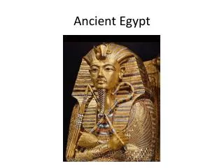
Egyptian Religion Chapter 3, Lesson 3
How would you move it? • Imagine that you have to move a huge stone (5,000 lbs). • You have no machines, trucks, elevators, cranes, or forklifts. • The stone has to be moved without anything powered by an engine.
Religion in Daily Life • Explained nature • Gods controlled weather, death, sickness • Different areas of Egypt believed in different gods • West was the world of the dead
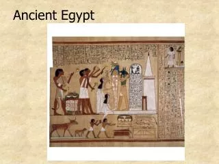
Belief in Afterlife • Spirits of the dead went to a pleasant afterlife • If bodies were preserved, the spirit would make it to afterlife • Mummies were buried with items for the afterlife
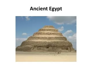
Pyramids • Created tombs for pharaohs • Could take 20 years to build • Barges carried stones for pyramids • No wheels, so sleds, rollers, & levers were used