Explore Climate & Environment of South Asia: Vegetation, Climates, and Natural Disasters
Discover the diverse climates, vegetation, and environmental challenges in South Asia including tropical, subtropical, highlands, and dry climates. Learn about monsoons, natural disasters, and environmental issues affecting the region. Environmental flow charts with cause & effect relationships are included to enhance understanding.


Explore Climate & Environment of South Asia: Vegetation, Climates, and Natural Disasters
E N D
Presentation Transcript
Mavs get their revenge and deal a blow to the lowly Rockets’ foolish playoff aspirations!!!WOOOOOHOOOOO!!!!!!!!Clear your desk. Have your map out.
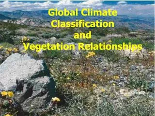
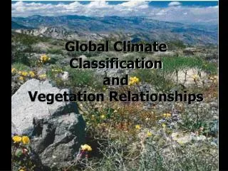
Climate & Environment South Asia (23.2 & 25.2)
Tropical Climates • Location: • W & S India; Sri Lanka; E & S Bangladesh • Vegetation: • TRF has wide variety (bamboo, mango, & other unique types) • Sundarbans have lgst. mangrove swamp (Bang.)
Sundarbans Mangrove swamp Dark green area One of largest Bengal tiger reserves
Subtropical Climates • Location: • N & E India, N Bangladesh, S Nepal & Bhutan (borders highlands) • Vegetation: • Mostly mixed forests (dry and tropical)
Highlands Climates • Location: • North (Himalaya & Karakoram) • Vegetation: • Based on elevation • High- always has snow, little life • Mid- more temperate, mixed forests • Low- (foothills) grassland, bamboo
K2 (Pakistan & China) Kangchenjunga (Nepal & India) Red panda (NE India, Himalayan foothills) Sivalik Hills (Nepal & Pakistan)
Dry Climates • Location: • Desert: Along Indus River (Pak); Great Indian Desert (Thar Desert) • Steppe: Deccan Plateau • Vegetation: • Scrub, low grasses • Some Deciduous forests
Camel caravan (India) Road in Pakistan Tanks for drinking water Johad- man made pond (water source)
Monsoons • Cool season: • Oct to Feb • Winds from N/NE (over land)…ARIDITY • Hot season: • Feb to June • Temps rise, wind direction changes • Wet season: • July to Sept • Winds from S/SW bring ocean air…RAIN
Monsoon Rains Rains come from S/SW Sweep across G-B delta Hit Himalaya & are blocked Move west to Ganges Plain
Calcutta Streets in New Delhi Monsoon clouds over N India Flooded paddies in Bangladesh Slums in Karachi
Natural Disasters • Constant hot temps: • Good= year round growing season • Bad= higher evaporation/ dry out soil • Monsoons: • Good= lots of rain to water crops • Bad= too much dry air, or too much rain (flooding) • Cyclones: • “Hurricane” in the Indian Ocean
Environmental Flow Charts • You will create different cause & effect flow charts over at least 3 issues in Ch 25.2 (can be combined) • Must have at least 3 connections (bareminimum) • Highlight/underline all key terms! CAUSE EFFECT
Environmental Problems • Wildlife • Losing land to deforestation and irrigation; over hunting (tourists & farmers…why?) • Reserves are being created, stricter laws, and financial incentives for cooperation Daddy & cub in park in India Elephant orphanage in Sri Lanka
Environmental Problems Ganges R. • Water • 80% of Indians have NO access to clean water • Worse in Pak. & Bang.! • Some battle flooding while others face droughts need for dams • Problems with dams? • Narmada River debate Portion of dam on Narmada R.
Environmental Problems • Forests • Name 5 causes of deforestation in S. Asia… • Name 4 effects of deforestation in S. Asia… • Chipko movement (70s): • Teaches impt. of trees • Provides seedlings for reforestation • Pushes govn’t action
Environmental Problems • Silt Erosion • Coastal areas/deltas face severe flooding displace 2 billion tons of silt each year • People constantly moving homes • Using satellite imaging to find solution