Download
1 / 14
140 likes | 357 Views
Chris Klaube Landscape Ecology 704:450. Delineating Sub-Watersheds Using Terrain Analysis in ArcInfo. Objectives Rundown in ArcInfo Workstation Speedbumps / Caveats Results Discussion. The Task. Delineate subwatershed boundaries using DEM and Contour layers HUC-23 to HUC-26

E N D
Chris KlaubeLandscape Ecology 704:450 Delineating Sub-Watersheds Using Terrain Analysis in ArcInfo
Objectives • Rundown in ArcInfo Workstation • Speedbumps / Caveats • Results • Discussion
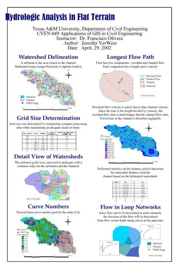
The Task • Delineate subwatershed boundaries using DEM and Contour layers • HUC-23 to HUC-26 • HUC- Hydrological Unit Code
Goals • To compare stream layer derived from county with stream layer created from DEM • To create a 2-ft Contour layer for the entire watershed
Data • Original DEM and Contour layers from NJDEP • Monmouth County provided original stream layer
ArcInfo Commands streamorder streamlink streamline watershed import project fill flowdirection flowaccumulation *streamnet
streamnet • Set threshold for the flow accumulation at several different values in order to create a stream layer with the right intricacy • Usagestreamnet = con(flowacc>2000, 1) • Set at: 2,000 -- 1,000 – 500
Creating Contours • Original Contour layer used to delineate HUC-polygons was at a 10-ft interval • Used ArcInfo to create 2-ft interval contour • Usage: LATTICECONTOUR <in_lattice> <out_cover> <interval> {base_contour} {contour_item} {weed_tolerance} {z_factor}
Caveats • New layers created by ArcInfo were in UTM projection • Used ArcMap and ArcCatalog to redefine in NJ Stateplane Arc Toolbox Data Management Tools Projections and Transformations • New Contours begin at elevation ‘0’
References • ESRI GIS and Mapping: Support Center. 2006. <http://support.esri.com/>