1 / 27

OC3522 - Remote Sensing of the Atmosphere and Ocean - Summer 2001

jud
Download Presentation

OC3522 - Remote Sensing of the Atmosphere and Ocean - Summer 2001

An Image/Link below is provided (as is) to download presentation Download Policy: Content on the Website is provided to you AS IS for your information and personal use and may not be sold / licensed / shared on other websites without getting consent from its author. Content is provided to you AS IS for your information and personal use only. Download presentation by click this link. While downloading, if for some reason you are not able to download a presentation, the publisher may have deleted the file from their server. During download, if you can't get a presentation, the file might be deleted by the publisher.

E N D

Presentation Transcript


    2. What can we measure? Satellite height Significant wave height Wind Speed

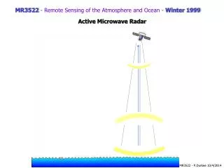
    3. Altimeter Schematic-I

    4. Altimeter Schematic-II

    13. Aliasing The altimeter measures sea level once every repeat period (except at cross-over points) If we have a high frequency signal which we measure at a low frequency we get aliasing Because of the way the altimeter lays down its tracks these aliased signals appear to move

    14. Aliasing Periods

    16. Gravity anomalies from altimetry

    22. Tides

    23. Rossby Waves

    24. Meso-scale variability

More Related