Download
1 / 43
430 likes | 505 Views
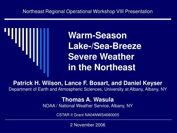
Northeast Regional Operational Workshop VIII Presentation. Warm-Season Lake-/Sea-Breeze Severe Weather in the Northeast. Patrick H. Wilson, Lance F. Bosart, and Daniel Keyser Department of Earth and Atmospheric Sciences, University at Albany, Albany, NY Thomas A. Wasula

E N D
Northeast Regional Operational Workshop VIII Presentation Warm-SeasonLake-/Sea-Breeze Severe Weatherin the Northeast Patrick H. Wilson, Lance F. Bosart, and Daniel Keyser Department of Earth and Atmospheric Sciences, University at Albany, Albany, NY Thomas A. Wasula NOAA / National Weather Service, Albany, NY CSTAR II Grant NA04NWS4680005 2 November 2006
Research Goals • Investigate thermodynamical and dynamical processes along with physiographic effects • Increase understanding of this phenomenon
Methodology – Part I • Warm-Season: April – October • Domain: OH, PA, MD, DE, NJ, NY, VT, NH, MA, CT, RI, ME • Selected cases from Storm Prediction Center archived storm data 2000-present • Verified from National Climatic Diagnostic Center archived radar data
Methodology – Part II • Obtained NCEP/NARR gridded datasets for each case and plot important weather variables • Collected soundings, radar data, and surface observations • Classified cases into separate categories and conducted case study analyses
Case Classifications • Pure Case: mesoscale forcing primary; synoptic-scale forcing secondary • Mixed Case: mesoscale forcing and synoptic- scale forcing working together • Null Case: convection suppressed by lake-/sea-breeze processes
Pure Cases 9 August 2001 (Ontario) 6 July 2003 (Erie) 7 August 2005 (Chesapeake) 2 August 2006 (Ontario) Mixed Cases 9 April 2001 (Erie) 19 June 2002 (Atlantic) 24 July 2003 (Erie and Ontario) 1 August 2005 (Huron and Ontario) 24 April 2006 (Chesapeake) Case List • Null Case • 11 July 2006 (Atlantic)
1200 UTC 9 August 2001 (Pure Case) 30 35 40 45 50 55 60 65 70
1200 UTC 9 August 2001 14 18 22 26 30 34 38 42 46
1200 UTC 9 August 2001http://weather.uwyo.edu/upperair/sounding.html Note: Parcel taken from lowest 500 m to determine CAPE
1500 UTC 9 August 2001 -14 -12 -10 -8 -6 -4 -2 0
1800 UTC 9 August 2001 340 345 350 355 360 365 370 375 380
1800 UTC 9 August 2001 -3.5 -3.0 -2.5 -2.0 -1.5 -1.0 -0.5 0.0
1700 UTC 9 August 2001 Radar Composite 70 60 50 40 30 20 10
1800 UTC 9 August 2001 Radar Composite 70 60 50 40 30 20 10
1900 UTC 9 August 2001 Radar Composite 70 60 50 40 30 20 10
2000 UTC 9 August 2001 Radar Composite 70 60 50 40 30 20 10
2100 UTC 9 August 2001 Radar Composite 70 60 50 40 30 20 10
2200 UTC 9 August 2001 Radar Composite 70 60 50 40 30 20 10
2300 UTC 9 August 2001 Radar Composite 70 60 50 40 30 20 10
0000 UTC 10 August 2001 Radar Composite 70 60 50 40 30 20 10
0100 UTC 10 August 2001 Radar Composite 70 60 50 40 30 20 10
0200 UTC 10 August 2001 Radar Composite 70 60 50 40 30 20 10
Pure Cases:Preliminary Conclusions • Ridge axis in place at the surface or aloft • Low unidirectional wind shear in low-levels (< 10 m s-1 for 925-700 hPa layer) • T > 30°C, Td > 20°C, CAPE > 1500 J kg-1 • Placement and timing signal by θe-ridge axis (θe > 335 K) • Intersections of boundaries enhance convection • Tendency to become squall lines and prefer valleys • Occur most often during hottest months of summer
1200 UTC 19 June 2002 (Mixed Case) 30 35 40 45 50 55 60 65 70
1200 UTC 19 June 2002 14 18 22 26 30 34 38 42 46
1200 UTC 19 June 2002http://weather.uwyo.edu/upperair/sounding.html Note: Parcel taken from lowest 500 m to determine CAPE
1500 UTC 19 June 2002 -14 -12 -10 -8 -6 -4 -2 0
1800 UTC 19 June 2002 320 325 330 335 340 345 350 355 360
1800 UTC 19 June 2002 Radar Composite 70 60 50 40 30 20 10
1900 UTC 19 June 2002 Radar Composite 70 60 50 40 30 20 10
2000 UTC 19 June 2002 Radar Composite 70 60 50 40 30 20 10
Mixed Cases:Preliminary Conclusions • Troughs generally in place at the surface or aloft • Typically more wind shear (speed shear and veering winds) in low levels • 20°C < T < 30°C, 10°C < Td < 20°C, θe > 320 K • Cyclonic vorticity and cyclonic vorticity advection important • Intersection of boundaries enhance convection • Occur most often during late spring and early autumn
1800 UTC 11 July 2006 (Null Case) 330 335 340 345 350 355 360 365 370
1800 UTC 11 July 2006 Radar Composite 70 60 50 40 30 20 10
11 July 2006 Storm Reports Lake and sea breezes can suppress convection.
1800 UTC 6 July 2003 MODIS Satellitehttp://rapidfire.sci.gsfc.nasa.gov/realtime/ Questions?