Download
1 / 15
150 likes | 292 Views
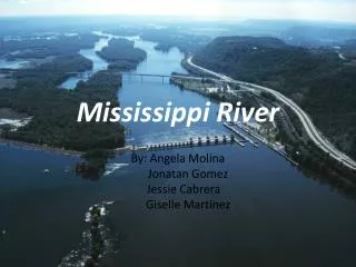
Numerical Modeling of the Lower Mississippi River. Northern Gulf Coast Hazards Collaboratory. Alex McCorquodale, Ehab Meselhe, Jo ã o Pereira, Ahmed Gaweesh, Kazi Sadid, Grécia Teran, Tshering Gurung. May 30 th 2012. 1 –D Storm Surge Modeling. Modeling Domain. Tarbert Landing (RM 306).

E N D
Numerical Modeling of the Lower Mississippi River Northern Gulf Coast Hazards Collaboratory Alex McCorquodale, Ehab Meselhe, João Pereira, Ahmed Gaweesh, Kazi Sadid, Grécia Teran, Tshering Gurung May 30th 2012
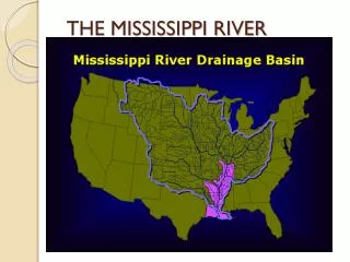
1–D Storm Surge Modeling Modeling Domain Tarbert Landing (RM 306) Lake Pontchartrain New Orleans (RM 103) Venice (RM 11) Gulf of Mexico Source: MODIS – Visible Earth 2010
1–D Storm Surge Modeling Hurricane Gustav – Donaldsonville Stage
1–D Storm Surge Modeling Hurricane Gustav – Surge Height
3–D Modeling of River Diversions Modeling Domain Bonnet Carré (RM 128) Belair (RM 64) West Pointe-A-La Hache (RM 64) Source: MODIS – Visible Earth 2010
Work in Progress – 3-D Delft3D Models Storm Surge Modeling Sediment Transport Modeling
3–D Modeling of Myrtle Grove Diversion (Medium Size Diversions) Model Domain Proposed Diversion
3–D Modeling of Myrtle Grove Diversion (Medium Size Diversions) HD Calibration- Horizontal Transects Transect-2 Transect-1
3–D Modeling of Myrtle Grove Diversion (Medium Size Diversions) HD Calibration- Vertical Transects Vertical Transect Location
3–D Modeling of Myrtle Grove Diversion (Medium Size Diversions) Diversion Modeling Velocity Distribution across River and along Diversion Transect
2–D Modeling of Bonnet Carre Spillway (Large Size Diversions) Model Domain Source: LSU Atlas-DOQQ Image 2005
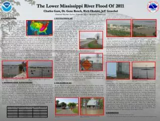
2–D Modeling of Bonnet Carre Spillway (Large Size Diversions) Flood-2011
2–D Modeling of Bonnet Carre Spillway (Large Size Diversions) Flood-2011