Download
1 / 6
60 likes | 70 Views
Explore the multi-risks region of Central America, focusing on the low watershed of the Lempa River in El Salvador. Discover the impacts of climate events, tectonic hazards, and economic activities, and examine the response of social and institutional actors. Analyze the challenges of development policies and the need for climate change inclusion.

E N D
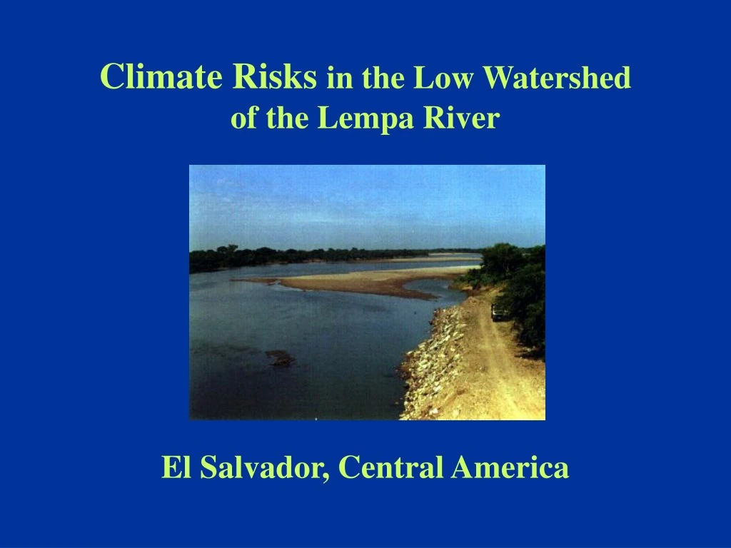
Climate Risks in the Low Watershed of the Lempa River El Salvador, Central America
Central America: a multi-risks region (1) • Many hydrometeorological and tectonic events records exist and are well known by the public and by institutions. • Regional climate is influenced by the extremes of the SO (El Nino /La Nina events) and the hurricanes surge. • It is located over regional/local scale tectonic faults and with a dense range of volcanoes. It exist a lot of alluvial valleys close to large torrential hydrographic watersheds. • Damages, losses and human deaths; social and institutional responses have been disseminated through generations. • Development models have generated additional vulnerabilities: there are pressing issues related to environment & equity. • Recent economic reforms, namely, privatization, reduction of public administration & descentralization are magnifying vulnerabilities and limiting opportunities to have public entities & local stakeholders involved in defining development policies, plans & programs.
Central America: a multi-risks region (2) • During the last 5 years, issues related to disasters relief & prevention became a pressing demand over governments on the part of affected stakeholders. • After hurricane Mitch, governments endorsed a Regional Framework and a Plan for Disasters Prevention and Mitigation. • A PDF, based on that Plan was submitted before the GEF and aproved. However, its approach does not include climate change issues.
El Salvador: climate & development policies Climate: • Many inter-seasonal and long-term climatic anomalies producing negative socio-economic impacts. • Sometimes extreme events are magnified by their inter-action with other complex fenomena (e.g.: hurricane Mitch). Development Policies: • Environmental legal and policy frameworks are new and still not fully implemented. • Many public services have been privatized, local actors are assuming a large range of policy and planning decisions. • Traditional planning activities, e.g.: sectoral policies or indicative plans or programs have been eliminated. • Current development context could generate additional vulnerabilities (social, environmental or economic).
The Low watershed of the Lempa river: • El Salvador shares the regional central range of mountains-related events of the region. • Impacts of events generated upstream the Lempa river (Guatemala & Honduras) are more severe downstream in ES. • The Lempa watershed determines about 49% of the Salvadoran territory, including the low watershed. • Most of Salvadoran live in tectonic and climate hazards prone areas. Economic activities have generated additional socio-economic risks (landslides, mudslides, floodings). • Alluvial coastal valley has been populated during the 90’s as if it were geologically concluded and stable. • The low watershed is considered a high risk area: a) many communities are located in the area, b) occurrance of frequent disasters, c) most of soils do not infiltrate water when humid & d) agriculture and fisheries are the main economic activities.
Floodings in the Low Lempa • The Low Lempa is the natural flood plain of the river. • More than 30,000 people leave and work in that area. • There is an hydropower dam upstream the area. • According to maximun recorded discharges the level and covering of floods and the impacts are different. • Every year agriculture is affected by droughts with moderate to severe intensities: most of the inhabitants in that area have incomes from their crops. Irrigation is adopted at an experimental scale and few cases exist. • During El Nino event fisheries suffer from temperature increases of the sea water along the Pacific coastline: fishermen have no income and have to address the problem on their own. As a result, more deforestation is produced. Droughts