Download
1 / 5
50 likes | 243 Views
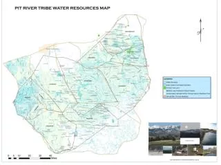
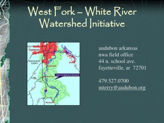
An Analysis of the Upper White River Watershed. Roads, Streams, and their Interactions. Location of The Upper White River Watershed in Vermont. Roads and Streams. Road and Stream Crossing Points. A two meter Buffer was applied to roads layer. Streams were clipped to the buffered roads.

E N D
An Analysis of the Upper White River Watershed Roads, Streams, and their Interactions
Road and Stream Crossing Points A two meter Buffer was applied to roads layer Streams were clipped to the buffered roads Outcome was a layer of line segments each representing one crossing point.
Data Collected • Total Road Lengths for every watershed • Total Stream Lengths for every watershed • Total Road/Stream Crossing points in each watershed • Density of roads in each watershed • Density of Streams in each watershed • Total area of Each Watershed.