Download
1 / 11
110 likes | 209 Views
This project focuses on assessing the Njoro River Watershed in the Rift Valley region, evaluating production systems like maize monocrop, livestock grazing, and vegetable cultivation. The aim is to improve economic, social, and biophysical indicators by addressing issues such as soil erosion and water quality through interventions like off-stream watering points and rural road infrastructure enhancement.

E N D
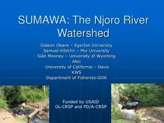
SUMAWA: The Njoro River Watershed Gideon Obare – Egerton University Samuel Kibichii – Moi University Siân Mooney – University of Wyoming Also University of California – Davis KWS Department of Fisheries-GOK Funded by USAID GL-CRSP and PD/A-CRSP
Application Description • Region • Rift Valley • Njoro River Watershed • Production systems • Maize monocrop • Maize/Beans • Maize/Beans/Potatoes • Vegetables (kale, onion, spinach, other) • Livestock grazing (pastoral) • Livestock, small scale (free range/zero grazing)
Application Description (2) • Indicators • Economic • Income/poverty • Social • Health • Biophysical • Soil erosion • Water quality/quantity
Possible Scenarios • Scenarios • Provision of off-stream watering points • Changes in water collection techniques • Enforcement of existing riparian protection laws • Improvement in rural road infrastructure • Change in fertilizer use (purchased or manure)
GIS ongoing/to be collected • Ongoing • 100 soil samples recently delivered to lab • Soil analysis ongoing • To be collected • Other soil coverages as available
Biophysical data • Collected • GPS co-ordinates for water collection points • Water chemistry data (23 sites – 14 samples at each site 2 years) • Coliform counts • Nutrient content (phosphates, nitrates, organic matter) • Alkalinity • Ongoing/to be collected
Economic Data • Collected • Survey of 384 households within the watershed • GPS location • Gender, age, education, household size, income (crops and livestock) • Farm size, implements (donkey, donkey cart, wheelbarrow, handcart) • Household expenditure • Input and output prices • Market access cost • Proportion of land in crops and in livestock • Some data on date of planting, harvest seeds, input use, yield • To be collected? • Water use data – quantity/quality
Stakeholder data • Completed participatory rural appraisals in 5 communities in the watershed • Identify issues/concerns • Still needs to be fully written up • To be completed • Review of institutions
Work Plan • Stakeholders • local community and institutions • Policy makers • Data • Finish data collection 2004/2005 (potentially more economic data/clean existing data) • Modeling • Begin mid/late 2005 • TOA Team Backstopping • What – HELP TOA!!!!, when? Mid/late 2005 • Reports & Presentations • Conceptual framework/background • Integrated/TOA write up • Integration of TOA type analysis with WEAP