Download
1 / 25
850 likes | 1.86k Views
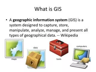
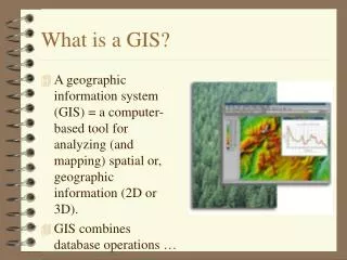
What is a GIS?. A geographic information system (GIS) = a computer-based tool for analyzing (and mapping) spatial or, geographic information (2D or 3D). GIS combines database operations …. ….

E N D
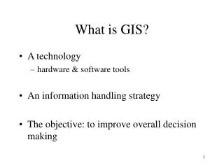
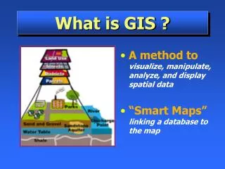
What is a GIS? • A geographic information system (GIS) = a computer-based tool for analyzing (and mapping) spatial or, geographic information (2D or 3D). • GIS combines database operations …
….. • GIS lets you (among other things) EXPLAIN events, PREDICT outcomes, and PLAN strategies by visualization. • things to ponder: overpopulation, deforestation, pollution, natural disasters……GIS can help us cope!
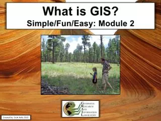
…... • Site a new business, locate the best soil for growing corn, or route the fastest way for an ambulance…….GIS is your tool • Maps are not new…but…now they are “alive” and can be made reasonably fast
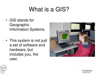
Components of a typical GIS • Hardware - stand-alone or networked? • Software - DBMS with geographic capabilities • Data - digitized, or purchased? • People YOU!(organized?) • Methods - think it through first - then act
How GIS works... • World is “stored” as linked thematic layers….the layers have known geographic locations • a geographic location is a longitide and latitude in some coordinate system. (UTM ?), address, road names, etc.
Models - Raster or Vector • Raster - grid cells (pixels) of a certain dimension (resolution) • Vector - points, lines, polygons • Real world
Sometimes inefficient to store (eg.big lake) sometimes faster than vector . better for complex continuous data. “smoother” 3d analysis. “jaggy” appearance ….so use both! Looks better than raster (less “jaggy”) efficient storage (eg. big lake) “jagged” 3d analysis linear features do not occupy space…(fence) more correct ….so use both! Advantages/disadvantages of the Raster model & Vector model
The 5 tasks of a GIS • Input • Manipulation • Management • Query and Analysis • Visualization
Input…... Digitize or scan existing maps. Import digital data. Import digital imagery . GPS.
Manipulation… …..data fussing……the “not fun” part, and often very time consuming……moving of lines that don’t fit, change in projections, weeding out data of no use, cleaning up scanned maps ….etc.
Management… Will the GIS system still be useful to others? If the answer is NO, are you managing the GIS properly to store, organize, and manage the data? ARC’s approach is a RELATIONAL design in the form of a collection of TABLES with common fields that can be linked from TABLE to TABLE….
Query and Analysis… Ask simple questions: who owns that big lot?…….what is the distance from here to the big lot?……..is the big lot properly zoned for the planned development?…….How big is the big lot? Ask more complex analytical questions: is the big lot close to any potential problems?………should the planned development require more land?..is there any similar plots nearby?…….will the planned development have a negative impact on traffic flow?……..and so on…….your imagination and insight should rule….not the GIS!!!
Query and Analysis… …..use the GIS to look for PATTERNS and TRENDS and use it for “WHAT IF” scenarios…… proximity analysis….
Query and Analysis… ……overlay analysis….
Visualization… ….now for some cartography…….use an appropriate amount of time…….who will use the map and for what purpose???
Related Technologies • Desktop Mapping - focus is on map creation…..ARCVIEW • CAD - much simpler than GIS (design) • Remote Sensing (including GPS) - more complex than GIS but with less focus on database management • DBMS - Does you data base require • 2D or 3D visualization?
Some uses……... • Realtors……tiled roofs and 5 bedrooms……then list houses in particular area matching the request……….then price and distance to schools can be additional constraints...
More uses • Improved Organizational Integration……
And some more • Make Better Decisions………..just remember that the quality of the DATA and the insight and imagination of the RESOURCE MANAGER rule……the GIS is the tool towards objective and rational decision making.
…..more……Making Maps • Ensure that the all components of the “system” keep producing. • The “chain” is only as good as the weakest link.
![Making maps, many maps! [What is GIS?]](https://cdn0.slideserve.com/829117/making-maps-many-maps-what-is-gis-dt.jpg)