Download
1 / 33
350 likes | 636 Views
Validation of Satellite-Derived Land Products on a Global Scale. Joanne Nightingale, Jaime Nickeson Sigma Space Corporation Robert Wolfe NASA GSFC Terrestrial Information Systems Branch Seminar June 1, 2010 . Outline. EOS land product validation (MODIS) CEOS WGCV LPV sub-group

E N D
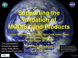
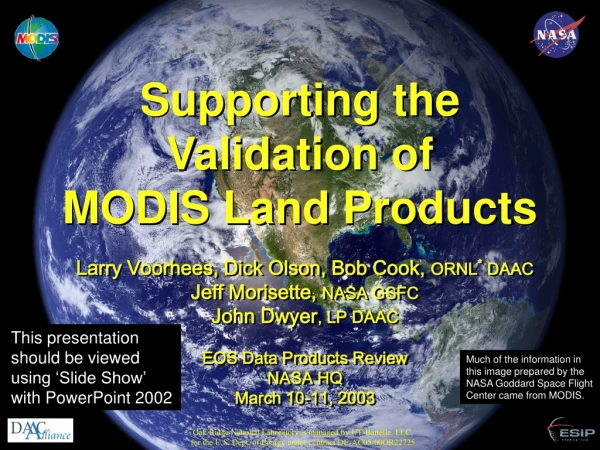
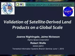
Validation of Satellite-Derived Land Products on a Global Scale Joanne Nightingale, Jaime Nickeson Sigma Space Corporation Robert Wolfe NASA GSFC Terrestrial Information Systems Branch Seminar June 1, 2010
Outline • EOS land product validation (MODIS) • CEOS WGCV LPV sub-group • Decadal Survey Mission validation planning
Task Objective To facilitate the coordination and development of data and methods for global validation of NASA EOS satellite land products through use of shared field, airborne, and satellite datasets and promoting international collaboration
Product accuracy statements • Updated Sept-Nov 2009 / Collection 5 MODIS Validation: Website • http://landval.gsfc.nasa.gov • > 30 new support studies / peer-reviewed publications
Validation Core Sites • 34 Core sites / data download statistics - March 2009 • Looking to expand with VIIRS and LPV international efforts
Image Acquisitions / Tasking • Maintaining / updating core site database Recent acquisition of Quickbird images at Park Falls Image tasking requested by MODIS PI’s
Access to Field Equipment • Digital Camera with fish-eye lens loaned to: • BU - field work in California, Summer 2008 • A. Huete - capture leaf flushing in the Amazon during the wet-dry transition period • Leaf optics + LAI + Productivity • Scaling ASTER - MODIS
Land Product Validation Sub-group CEOS (Committee on Earth Observing Satellites) WGCV (Working Group on Calibration and Validation) Chair:Joanne Nightingale (NASA GSFC) Vice-Chair: Gabriela Shaepman-Strub (University of Zurich) NASA EOS Validation: Joanne Nightingale / Jaime Nickeson 7 Land Product Focus Groups • Established in June 2009 • 2 co-leads per group • ~3-year terms
LPV Focus Groups * = Essential Climate Variable: Essential measurement for global earth observation and understanding long-term affects of climate change
LPV Objective To foster quantitative validationof higher level global land products derived from remotely sensed data, in a traceable way, and relay results so they are relevant to users
LPV Goals • To increase the quality and efficiency of global satellite product validation by developing and promoting international standards and protocolsfor: • Field sampling • Scaling techniques • Accuracy reporting • Data / information exchange • To provide feedback to international structures (GEOSS) for: • Requirements on product accuracy and quality assurance (QA4EO) • Terrestrial ECV measurement standards • Requirements for future missions GEOSS : Global Earth Observation System of Systems
GEOSS Schematic Linkages between International Programs concerned with Terrestrial Earth Observation
Role of Focus Groups • Engage community members (via listserv), update on progress, relevant meetings • Report back to LPV working group on activities, meetings, new products, funding mechanisms • Organize at least 1 topical workshop • Expand LPV activities, field sites, collaboration beyond North America and Europe! • Lead product inter-comparison activities • Lead the development and writing of “best practice” land product validation guidelines
Land Product Validation Protocols • “Best practice” for land product validation • Current knowledge • Available data • Tools and methods • Tested and repeatable • Peer-reviewed • CEOS endorsed/published • “Living” documents
LPV Webpage • Updating product lists and background validation information per focus group
Validation Stages • Consensus from LPV leads / MODIS land PI’s
Key Activities per Focus Area • Examples of key activities since June 2009 • Planned activities / meetings
Land Cover • Planning for Global Land Cover Validation Exercise • Collaboration with BU, GOFC-GOLD, VIIRS Surface Type validation team • Planning for ESA Climate Change Initiative Call • Discussions with JRC on independent accuracy assessment (use of FRA 2010 remote sensing survey data) • Accuracy assessment of land cover change • Will move ahead in concert with GOFC-GOLD REDD Sourcebook updates and GEO Forest Carbon Tracking task GOFC GOLD: Global Observations of Forest Cover and Land Cover Dynamics FRA: Forest Resources Assessment REDD: Reducing Emissions from Degradation and Deforestation
Biophsyical • Letter sent to GTOS, GCOS : Adoption of a consistent definition for the Leaf Area Index ECV • GTOS-L2008, GTOS-GV2009, GCOS-IP10, GCOS-TEMS • Sent December 2009, awaiting reply • Status of LAI and PAR validation paper in prep • OLIVE (OnLineValidation Exercise) (Baret et al.) • Activity funded (ESA) • Operational 2011 GTOS: Global Terrestrial Observation System GCOS: Global Climate Observing System
Soil Moisture • International Soil Moisture Network • Global in-situ soil moisture database • Collaboration between CEOS, GEWEX and GEO • Collaboration with Australia, Russia and China • SMAP (Soil Moisture Active Passive / NASA) • SMOS (Soil Moisture and Ocean Salinity / ESA) Online February 2010! GEWEX: Global Energy and Water Experiment
Land Surface Phenology • No pre-existing LSP validation methods or papers The seasonal pattern of variation in vegetated land surfaces observed from remote sensing • Estimation of seasonal carbon dynamics • Assess impacts of global climate change • Growing season information in ecosystem models • Recent proliferation of LSP products derived from moderate-resolution, high temporal frequency satellite sensors • 9 products available, 1 pending
Phenology cont. Validation is essential for assessing algorithm accuracy and ensuring improvements • Several studies relating in-situ data to pixel DOY for green-up and brown-down • In situ data from ground volunteer networks • (NPN, Plantwatch, Project budburst) • Bud-burst or flowering date ≠Pixel / Bulk vegetation properties
LSP Assessment / Workshop • LSP product assessment • 2 global products (MODIS, SPOT-Vegetation) • 5 products for US/North America (MODIS, AVHRR, Data Fusion) • 2 products for Europe (MERIS) • 1 product for South Africa (AVHRR) • LPV workshop at the Phenology 2010 conference • Incorporting ground networks (NPN, PEN) • To bring together producers of continental- to global-scale land surface phenology products; as well as those collecting field, tower, or airborne data useful for validating those products, to develop an international protocol to quantify the accuracy of these products and initiate a validation-based inter-comparison
Spectral Networks • Phenological Eyes Network (PEN) Japan • Hyperspectral sensors on flux /LTER site towers • In association with basic RGB cameras • Par@meter – INRA France • Wireless system for continuous monitoring of LAI/fPAR • 20x20m sampling
HyspIRI: HyperspectralInfraRed Imager • 60m nadir, 3 week revisit, 2013-2016 launch (Tier 2)
HyspIRI Products Existing Val Methods Research Required
Scaling of Biophysical Products • LAI, fPAR, GPP, NPP, Albedo • Protocol for ground sampling, scaling and validation of LAI, fPAR and albedo products in preparation • HyspIRI will provide enhanced spatial / temporal capabilities for scaling activities (bridge 30m – 250m/1km+ gap)
Test Validation Activities • Use of Hyperion for validation approach testing • Hyperion archive being collected at Core Sites Temporal variation in spectral characteristics, Railroad Valley, NV Similar datasets are being assembled at other CEOS Cal/Val and LPV sites
For more informationContact:Joanne.M.Nightingale@nasa.govJaime.E.Nickeson@nasa.govOr visit:http://lpvs.gsfc.nasa.gov/http://landval.gsfc.nasa.gov/