Download
1 / 40
400 likes | 415 Views
Learn how to design user-friendly online mapping interfaces for public audiences. This presentation covers three key concepts from Human-Computer Interaction (HCI) - Visibility, Affordance, and Feedback - and applies them to online mapping functions. Discover how to create designs that are easy to use, inventory designs that suit your audience's skills, and test the designs using usability testing.

E N D
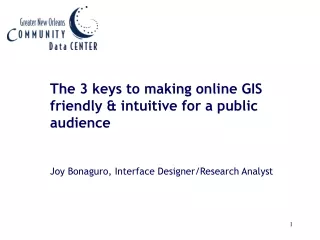
The 3 keys to making online GIS friendly & intuitive for a public audience Joy Bonaguro, Interface Designer/Research Analyst
Why is it so hard for public audiences to use online mapping interfaces?
In this presentation… • Introduction • 3 concepts from Human-Computer Interaction (HCI) • Applying an HCI framework to online mapping functions
Philosophy of the Data Center • Design systems that are easy to use. • Inventory designs that best meet the skills of our audience. • Test the designs using usability testing.
3 concepts from Human-Computer Interaction • Visibility • Affordance • Feedback
Visibilityis how clear the relationship between an action and its effects are to the user.
Affordanceis when the features of an object allow the user to infer how to use it.
Feedbackis the response a system gives that informs a user whether the action they took actually worked.
Applying HCI concepts to online mapping functions • Zoom • Pan • Identify • Layer activation/deactivation
Navigating the map: Zoom magnifies or reduces scale
Navigating the map: Pan shifts map view without modifying the scale
Interacting with the map: Identify Provides additional information about a specific location or geography on the map