Download
1 / 22
220 likes | 421 Views
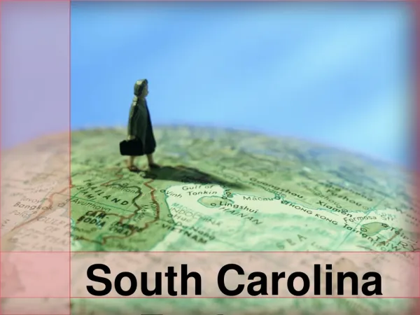
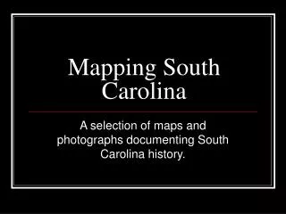
Mapping South Carolina. A selection of maps and photographs documenting South Carolina history. Why has mapping been important to people historically?. It provided a record to explorers or travelers who were visiting a place for the first time.

E N D
Mapping South Carolina A selection of maps and photographs documenting South Carolina history.
Why has mapping been important to people historically? • It provided a record to explorers or travelers who were visiting a place for the first time. • It provided a physical representation of the world. • It allowed for a traveler to visit the exact same spot at different times.
What benefit are old maps now? • They show accurate representation of changes to physical locations. • They can help provide guidance in planning changes or developments. • They can educate generations beyond the time they were created.
Indian settlements, lakes and rivers We see…
We see… Coastline, lakes, & rivers
We see… The distribution of slaves in the Southern States
We see… A map of military defenses set up to defend Charleston Harbor
We see… The Broad River and its tributaries
We see… The coastline from Charleston to Savannah
We see… Fort Sumter, South Carolina at the time of its capture February 18th, 1865 Showing the effects of the bombardment from Morris Island
We see… The Charleston & Savannah Railroads
We see… A new map of South Carolina with its canals, roads & distances from place to place along the stage & steam boat routes.
Credits • Santa Cruz, Alonzo de. “Mapa del Golfo y costa de la Nueva España : desde el Río de Panuco hasta el cabo de Santa Elena ...” 1572?. Map Collections: 1500 – 2004. [http://hdl.loc.gov/loc.gmd/g3860.ct001033][ g3860 ct001033](September 25, 2004). • Sanson, Nicholas.” La Floride / par N. Sanson d'Abbeville, Georgr. ordre. du Roÿ.” 1657. Map Collections: 1500 – 2004.[ http://hdl.loc.gov/loc.gmd/g3860.ct000706][ g3860 ct000706](September 25, 2004) • Steinwehr, A. von.” Map showing the distribution of slaves in the Southern States”. 186?.Map Collections:1500 – 2004.[ http://hdl.loc.gov/loc.gmd/g3861e.ct000782][ g3861e ct000782](September 25, 2004). • Peter Adams Company. “Map of Charleston Harbor showing defenses.”186? Map Collections: 1500 – 2004, Military Battles and Campaigns.[ http://hdl.loc.gov/loc.gmd/g3912c.cw0368a50][ g3912c cw0368a50] (September 25, 2004). • Willenberger, Eugene. “Broad River and its tributaries, S.C. From a reconnaissance made, under direction of Rear Admiral J. A. Dahlgren, Commd'g S.A.B. Squadron, by R. Platt, Act. Master, U.S.N. und [sic] E. Willenbucher, U.S.C.S.” 1864. Map Collections: 1500 – 2004, Military Battles and Campaigns.[ http://hdl.loc.gov/loc.gmd/g3912b.cw0368a35][ g3912b cw0368a35](September 25, 2004). • Hawley, Joseph R. “Coast line from Charleston to Savannah”. 1862? Map Collections: 1500 – 2004, Military Battles and Campaigns.[ http://hdl.loc.gov/loc.gmd/g3912c.cw0358600][ g3912c cw0358600](September 25, 2004). • United States Army Corps of Engineers. “Fort Sumter, South Carolina at the time of its capture February 18th, 1865. Showing the effects of the bombardment from Morris Island To accompany the report of Maj. Genl. Q. A. Gillmore, U.S. Vols., comdg. Dept. of the South.” Map Collections: 1500 – 2004, Military Battles and Campaigns.[ http://hdl.loc.gov/loc.gmd/g3914c.cw0388000][ g3914c cw0388000](September 25, 2004). • Walker, Evans & Co.” Map showing the location of the Charleston & Savannah R.R.”1856. Map Collections: 1500 – 2004.[http://hdl.loc.gov/loc.gmd/g3911p.rr003640][ g3911p rr003640](Septemeber 25, 2004). • Tanner, Henry Schenk. 1833.”A new map of South Carolina with its canals, roads & distances from place to place along the stage & steam boat routes.”Map Collections: 1500 – 2004.[ http://hdl.loc.gov/loc.gmd/g3910.rr002990][ g3910 rr002990](September 25, 2004).