Download
1 / 13
130 likes | 156 Views
Explore how land cover changes influence erosion factors in Mavrovo region, Republic of Macedonia, via Landsat satellite imagery and classification techniques. Analyzing data from 1977 to 2000 reveals trends and impacts of human activity on the environment.

E N D
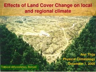
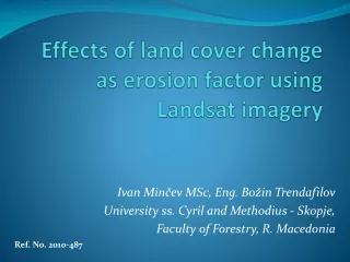
Effects of land cover change as erosion factor using Landsat imagery Ivan Minčev MSc, Eng. Božin Trendafilov University ss. Cyril and Methodius - Skopje, Faculty of Forestry, R. Macedonia Ref. No. 2010-487
Introduction • In the past, the mountain region of Mavrovo and its vicinity had been a huge economic center. As a part of the process of migration, many of the mountainous regions of Macedonia have been practically deserted. This had a huge effect on the environment and it largely diminished the human impact.
There are some information that one century ago, the natural grasslands of the mountain Bistra were the home of over 1.000.000 sheep. These numbers are a very important indicator of the human pressure on the environment because in the mountainous regions the only occupation of the inhabitants is logging and livestock husbandry. Therefore, the areas, which should be observed the most, are the forests and the rangelands.
Study area • The study area of this research is located in the north-west part of the Republic of Macedonia. It covers an area of approximately 60.000 ha. The elevation ranges from 600 m to 2764 meters.
Dataset -LANDSAT satellite images: • LANDSAT 2 MSS, 19th of July 1977 • LANDSAT 7 ETM 22nd August, 2000 -Topographic maps from 1971 and 2004, -Digital Elevation Model
Methodology • Preprocessing • radiometric correction (atmospheric correction) of the images • ortorectification • registration of the images and topographic maps to the same coordinate system (Gauss Kruger/Bessel) • Pixel based supervised classification of the images • Landsat 2 MSS image (pixels size of 80m with four spectral bands covering the visible (green, red) and two infra red bands) • Landsat 7 ETM+ image (pixels size of 28m , 8 bands, 3 visible (blue, green and red), tree infrared, one thermal and one panchromatic band)
The Landsat 2 image was tested for spectral separability of the several land cover (LC) classes. This was done by trial and error approach by selecting training sites from existing topographic maps from 1971. After careful consideration it was decided that the land cover classes should be fewer in order to generalize the classification and to gain robustness. There were four land cover classes chosen: • water bodies • forest • mountain pastures/degraded forests • degraded pastures
Land cover/use as an erosion factor • reclassification of the developed land cover classification into land cover/erosion classes • the land cover classes from the methodology of Gavrilovic was used as most appropriate: • forested areas with good crown closure (0,05), • good mountain pastures and degraded forests (0,6) • degraded pastures (0,85)
Land cover classification of the satellite images: Landsat 2 MSS and Landsat 7 ETM+
Conclusions and recommendations • The change of the land cover perceived as erosion factor is a good tool for assessing the human impact on the environment • This method can be used for establishing general observations of the state of the environment and it cannot be used for detailed erosion assessment. This paper can be perceived as a preliminary study in order to “feel the pulse” of the problem. For the future more detailed observations should be made in order to improve the quality of the model. Another problem which is present is the non uniformity of the data sources.

![A [simple] land cover change intercomparison](https://cdn2.slideserve.com/3941152/a-simple-land-cover-change-intercomparison-dt.jpg)