Download
1 / 4
40 likes | 171 Views
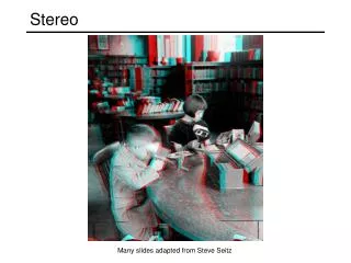
Homework 7 - Stereo Feature Collection. Objective: collect topographic features over campus area by using a stereo pair of aerial photographs Data: CIVLPC10, Drive D: ce403project7. See separate slides for details.

E N D
Homework 7 - Stereo Feature Collection • Objective: collect topographic features over campus area by using a stereo pair of aerial photographs • Data: CIVLPC10, Drive D: ce403\project7. See separate slides for details. • Team project: team of two; maximum one team with 3 people and additional work. • Features to be collected: • 3-D buildings • Streets • Lawns • Sidewalks • Trees • Other features of interest • Equipment: • StereoAnalyst (under Erdas Imagine 8.6 or 8.7) • Computers with Stereo capability (PC9 and 10 in GIS lab; Photo Lab) • Final outcome • A set of Shapefiles of your collected features • A Letter format map showing all features with necessary labels (you may use ArcView or ArcGIS for output) • A number of 3D views of your collected buildings • Option – a 3D view generated from VirtualGIS (a module of Erdas Imagine) • Hand in: a report including (max. 5 pages, 12 font, 1.5 line spacing) • A brief description of the work • The above outcome • Evaluation/discussion on your results • Due: April 19 (Tuesday), 2005 CE403, 2005
The stereo pair • Two raw images • Orientation performed • *.blk file stores the orientation info for the model • rrd, aux are associate with the raw images for pyramid and histogram info • Copy all the files if you want to work on your machine or change your working director • DO NOT change or save to the files • DO NOT write anything in this folder. • Save your collected features on your own drive. CE403, 2005
Details steps 2b 1 3 Specify feature collection project name, feature class, and load the stereo model. The stereo model is the *blk file prepared for you. 2a CE403, 2005
Stereo collection • To get true 3-D coordinates for each point • You must place the two (L-R) cursors on exactly the same location, or • You must only see one cursor • Mouse: • Curse move – horizontal location • Scroll roll – elevation • Collect faces or planes for buildings • Use snap tool for common edges – it does not work well • Avoid gaps • View/render the 3-D on the fly CE403, 2005