Download
1 / 29
341 likes | 916 Views
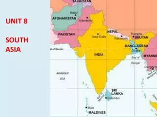
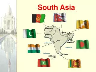
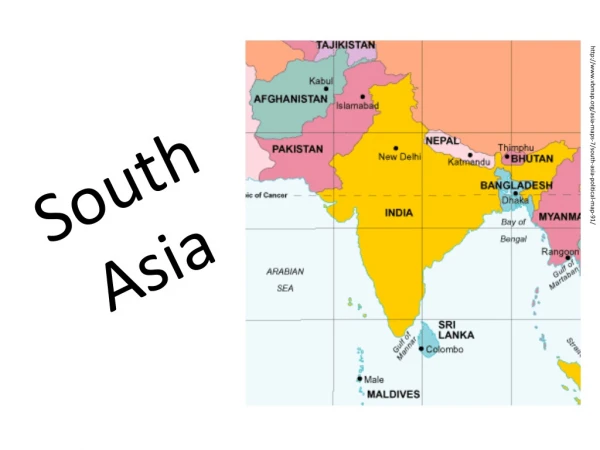
South Asia Unit. The subcontinent. A closer look at the breakdown of India…. India is a Federal Union of States. 28 States Elected governments 7 Union Territories Administered directly by the government. Disputed Regions, States, and Union Territories.

E N D
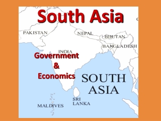
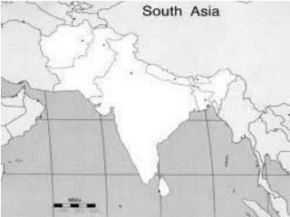
South Asia Unit The subcontinent
A closer look at the breakdown of India… India is a Federal Union of States • 28 States • Elected governments • 7 Union Territories • Administered directly by the government
1. Northern Mountains Himalayas Hindu Kush
Northern Mountains Separate South Asia from the rest of the continent Hindu Kush Smaller than Himalayas But almost as high “kush” = death Khyber Pass – access to subcontinent • Himalayas • Contains some of the world’s tallest mountains • Mt. Everest – tallest in the world
Kashmir Valley • High valleys among the mountains • Kashmir Valley – produces wool known in the west as Cashmere
The Northern PlainsA.K.A. Indo-Gangetic Plain • 3 major rivers • Indus • Ganges • Brahmaputra
Indus River • Principal river of Pakistan • Many live in the river basin • Indus Valley civilization • Earliest in the region • “Indus” = river • Source of the name India
Ganges River • Begins in the Himalayas • Joins the Brahmaputra in Bangladesh • Holiest River - Ritual purification in the Ganges
Brahmaputra River • Joins the Ganges in Bangladesh • Ends in the Bay of Bengal • Vulnerable to flooding
3. Thar Desert • 100,000 sq. mi. (size of Colorado) • Barren landscape
4. Deccan Plateau • Bordered by two mountain ranges • Vindhyas • Ghats
Deccan Plateau Vindhyas Ghats Named for the many ghats (passes) that run through them • Separate the Deccan Plateau from Northern Plain • Boundary between Northern and Southern India • Rugged but relatively low
MONSOONS • Seasonal wind that dominates the climate of South Asia • “monsoon” = season in Arabic • Summer = wet monsoon • Winter = dry monsoon
Wet, summer monsoons • June • Land heats the air air rises cool moist air from the sea flows across land to bring rain • Central India receives more than 90% of its total annual precipitation • Southern and northwestern India receiving 50%-75% of their total annual rainfall
Dry, winter monsoons • October • Cool air from mountains sinks winds blow back to the sea dry air crosses subcontinent mild season follows • Himalayas act as a huge wall blocking this cold weather and causing high temperatures
Impact on the People? • Famine • It is important that the monsoon comes on time • If the monsoon is late, the seeds planted may die and cause FAMINE • Floods • If the monsoon brings too much rain, rivers can overflow • Most common in the low lands of Bangladesh where the Ganges and Brahmaputra rivers meet
Flooding in Bangladesh • http://www.bbc.com/news/world-asia-22537615 • http://www.theguardian.com/global-development/2013/jan/23/bangladesh-floods-harbingers-disaster