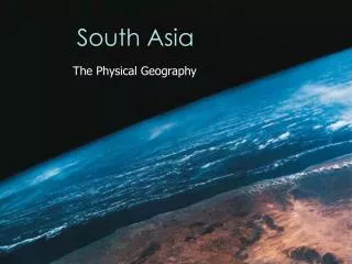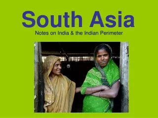
South Asia
200 likes | 415 Views
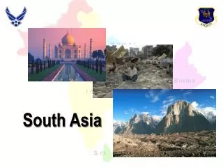
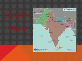
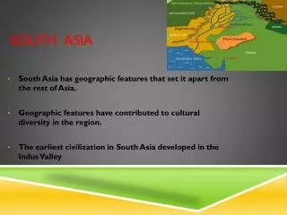
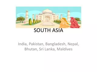
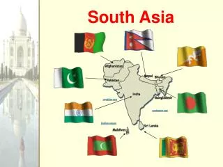
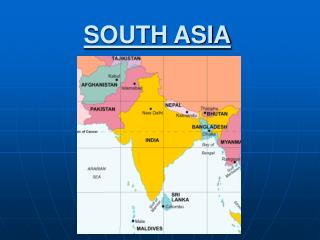
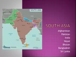
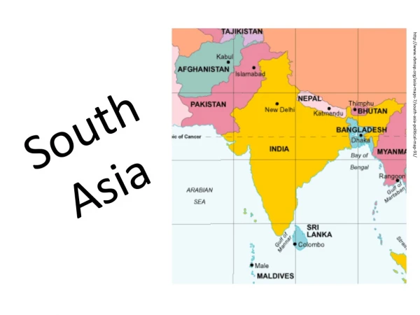
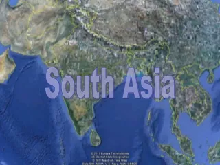
South Asia. Map . Countries . Landforms . Pakistan- Islamabad India- New Delhi Nepal- Kathmandu Bhutan- Thimphu Bangladesh- Dhaka Sri Lanka – Colombo The Maldives- Male . Himalayas Deccan Plateau Western Ghats Eastern Ghats Gangetic Plain Hindu Kush Mt Everest .

South Asia
E N D
Presentation Transcript
Map Countries Landforms Pakistan- Islamabad India- New Delhi Nepal- Kathmandu Bhutan- Thimphu Bangladesh- Dhaka Sri Lanka – Colombo The Maldives- Male Himalayas Deccan Plateau Western Ghats Eastern Ghats Gangetic Plain Hindu Kush Mt Everest
Map Water Formations Cities Ganges River Indus River Narmada River Krishna River Godavari River Arabian Sea Bay of Bengal Indian Ocean Mumbai (Bombay) Calcutta Lahore Karachi
South Asia Known as the “roof of the world” – Why? 1/5 of the worlds population Indian plate slammed into Eurasia and formed the Himalayas 65 million years ago to form the world’s highest mountain range.
South Asia • Monsoons, seasonal winds, dominate the region • Buddhism formed in India in 500 B.C. • In the 1600’s European trading companies dominated the region • East Indies Trading Company – “The Jewel in the crown of British Empire” – in control of trade in the region
South Asia • India gained its independence in 1947 • The movement was led by Mohandas Ghandi • “non-violent noncooperation” • Boycotts, marches and fasts
South Asia India divided after the end of British rule Bangladesh formed in 1971 from East Pakistan Pakistan formed from West Pakistan in 1973 High tension between India and Pakistan still today- Both have Nuclear Weapons
Problems in South Asia Rapid growth of population and overcrowding High unemployment and high crime rate
India Capital- New Delhi Literacy Rate: 50% GDP: $3700 1.2 Billion People – 2nd only to China 1 out of every 6 people in the world live in India 17 official languages spoken in India- Main Language is Hindi Many religions- Christianity, Buddhism, Islam Main religion is Hinduism
India In the Hindu religion cows are considered sacred They are not used as meat and Hindu’s cannot eat beef The Ganges River is sacred People bathe in the Ganges even though it is very veryvery polluted !
India 70% of the surface water in India is polluted However hydroelectricity is important in India Tigers- Kill 50-60 people a year in India ¾ of the population is in agriculture World Leader in producing- Tea, sugar cane, cashews, peanuts, and sesame seeds! Ranks 10th in the world in industry
India The Government of India is a Democratic Republic 25 states Cities are becoming overcrowded- Calcutta, Bombay, Madras • The TajMahal is in Agra India- built in the 1600’s
Pakistan Capital- Islamabad Lit Rate 38% GDP $2300 Mostly Islamic Desert and Mountains dominate the region Indus river- fertile farm land K2- Mt. Goodwin Austen is the 2nd highest peak Has large natural gas deposits- many cars use natural gas Kashmir has been fought over by India and Pakistan for 50 years
Nepal Capital- Kathmandu – only major city Literacy Rate- 28% GDP $1200 Home of Mt. Everest 90% in agriculture Tourism is important Most are Buddhist or Hindu
Bhutan Capital – Thimphu Literacy Rate- 42% GDP $1300 Buddhist Kingdom that is cutoff from the rest of the world! Why ? 1/59 have radios 1/60 have telephone
Bangladesh Capital- Dhaka Literacy rate 38% GDP $1260 5000 miles of water ways in Bangladesh – major flooding Mostly Muslims – poor people Problems feeding all the people
Sri Lanka Capital Colombo Literacy Rate 90% GDP $3760 Tea is its major export Gained its independence from Britain in 1948 Hit hard by the tsunami in 2004 Ongoing conflict between Buddhists and Hindus
The Maldives Capital : Males Literacy Rate 93% 1200 small islands Fishing and tourism is the most important industries