Soils and Geomorphology
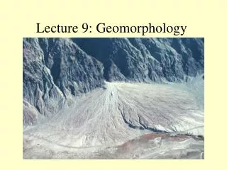
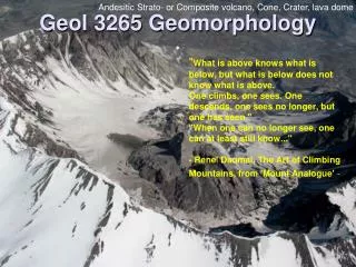
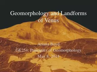
Soils and Geomorphology Bob Anderson October 9th 2007 Hillslopes Convex hilltops G. K. Gilbert’s view of a convex hilltop (1909) Need to address both the source of regolith and its transport. Both are climate-dependent. Regolith balance climate Q = -k dz/dx But climate and all

Soils and Geomorphology
E N D
Presentation Transcript
Soils and Geomorphology Bob Anderson October 9th 2007
G. K. Gilbert’s view of a convex hilltop (1909) Need to address both the source of regolith and its transport. Both are climate-dependent.
Regolith balance climate Q = -k dz/dx But climate and all other interesting physics hides in k
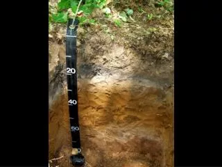
Occurs throughout the critical zone Transforms the hydrologic behavior of the landscape
Frost cracking • Time spent within the “frost-cracking” window ~ -3 - -8°C • Poses a very specific question of temperatures in the subsurface
k = A exp( -Ea / RT) Arrhenius equation
Weathering occurs at mineral interfaces Richards and Kump
How do we measure “regolith production” or lowering of the regolith-bedrock interface? Basin-wide averages from sediment and solute output But this requires assumptions about steady state… At a point: You wait a really really really long time (>>PhD timescale) …Or… You use a long term integrating tool, and measure the concentration of cosmogenic radionuclides.
Cosmogenic radionuclides e.g. 10Be, 26Al with half-lives of order 1 Myr
Dating a Baffin fjord Bedrock surface using 10Be
Bedrock lowering rates based upon 10Be concentrations Bottom line: they are VERY slow rates…
But what sets these rates is still up for debate… the connections to climate and tectonic settings are still fuzzy, entangled
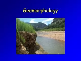
Now on to transport, the Q in the regolith balance: Water in the landscape
Transport of regolith, Q One example: Rainsplash Rain bombs! Courtesy David Furbish
Another example: Frost creep due to repeated freeze-thaw cycling Single frost event: • Displacement ~ slope • Discharge ~ square of frost depth Simulation of frost creep Green = maximum heave; red = post-thaw Multiple frost events: • Concave up profile Climate! RSA 2002
But reality is MUCH more complicated and interesting I = f(S), the saturation state of the soil So we must allow S to evolve dS/dt = f(S,P,T) -- i.e. climate again The California case: Early storms yield <10% runoff Late storms yield > 60% runoff So we need to know the sequence of rain input: the rainfall intensity, the duration of the storm, the interval between storms, and the number of storms per year.
Vegetable matter Vegetation matters. Interception Evaporation Infiltration capacity Root strength… The pre-land plant world would have operated In a very different way. Ditto Mars.
High summit surfaces of the Laramide province Osborne Mountain, Wind River range
Sampling tors for cosmogenic radionuclides Scale for w = 5 microns/yr!!
High surfaces Model rules Cosmogenic radionuclide Results: Surface lowering rates are 5-10 microns/yr Or 5-10 m/Ma
Late Cenozoic features: Ornamentation of the crests differential lowering of high surfaces vs glacial canyons Ornamentation of the front transient incision of the fluvial system Boulder Golden
James Peak Front Range high surface
High surface profiles, Front Range
A few landscapes behave themselves… Note timescale for achieving steady state is several Ma, so must average over glacial-interglacial cycles… (gulp)
Residence time of regolith (or soil) on a landscape: Estimated by T=h/w. In the case of the high surfaces, h = 1m, w = 5m/Ma T=1/5 Ma or 200ka
Summary • The majority of any landscape is hillslopes • Most of them are cloaked with soils • The evolution of soil thickness is modulated by both production rate of regolith and its transport • We can measure soil production using cosmogenic radionuclides • In high alpine settings transport is dominated by periglacial processes • The high surfaces of the Rockies are likely steady state surfaces, and residence time is long relative to changes in climate