Download
1 / 9
90 likes | 247 Views
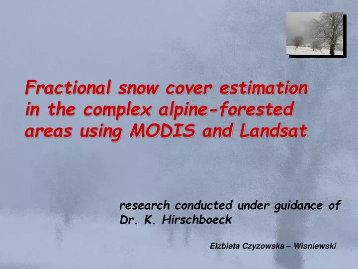
Fractional snow cover estimation in the complex alpine-forested areas using MODIS and Landsat. research conducted under guidance of Dr. K. Hirschboeck. Elzbieta Czyzowska – Wisniewski. Why do we have to study winter precipitation and snow cover in the Southwest USA.

E N D
Fractional snow cover estimation in the complex alpine-forested areas using MODIS and Landsat research conducted under guidance of Dr. K. Hirschboeck Elzbieta Czyzowska – Wisniewski
Why do we have to study winter precipitation and snow cover in the Southwest USA - winter precipitation and snow cover supply up to 90% of annual precipitation; - winter precipitation and snow cover is very sensitive to global climate change; - estimation of snow cover and SWE is needed for better understanding of spatial and temporal variation of these elements in the decadal and century time scales; - estimation of snow water equivalent (SWE) based on instrumental data – remote sensing data complement sparse ground data;
Ground Satellite 30 m 30 m 30 m 30 m 30 m 30 m 30 m 30 m Remote sensing – introduction
30 m 30 m Present day snow classification snow snow < snow > non snow non snow non snow 30 m 30 m Normalized Difference Snow Index Snow detection – current methods: NDSI Ground Satellite 30 m 30 m
Ikonos 1 m 4 m Ikonos as a source information for snow cover monitoring Landsat snow 30 m how much of the pixel is covered by snow ? 30 m
Ikonos 1 m forest road water house fresh snow old snow metamorphosed snow Ikonos as a source information for snow cover monitoring Landsat 30 m % snow cover 1 Landsat pixel (30m) = 900 Ikonos pixels (1m); 1 MODIS pixel (500m) = 278 Landsat pixels = 250 000 Ikonos
C – Verification A –LandsatFSC development B – ModisFSC development Ikonos classification map Ikonos ANN1 training snow 10 m DEM 30 m DEM ANN 2 ANN 1 snow 4 ANN2 training / snow snow GIS snow ANN1 parameters ANN2 parameters 4 / ModisFSC LandsatFSC NOHRSC, SNOTEL MODIS, Landsat NDSI snow MODIS Terra/Aqua Landsat TM/ETM+ classification map - near infrared - panchromatic Legend: - visible - shortwave infrared - thermal Landsat and MODIS fractional snow cover
snow snow snow snow snow 1972 1980 1972 snow 2006 1980 snow 2006 Future plans: 2005 - 2008 IIa. Comparison of fractional snow area distribution with snow maps produced by: MODIS NDSI;Landsat NDSI; NOAA; SNOTEL; I. Neural network based fractional snow cover estimator DEM MODIS Terra & Aqua Ikonos Fractional snow cover in mountain areas GIS Landsat ETM+ Model IIb. Weekly and annual MODIS fractional snow cover distribution; IV. SWE at 1st April (1972 – 2007) Models IIIa. Spatial and temporal changes of SWE based on MODIS fractional snow cover; & ANN V. Reconstruction of SWE and snow days (1400 – 2007);