Download
1 / 29
300 likes | 506 Views
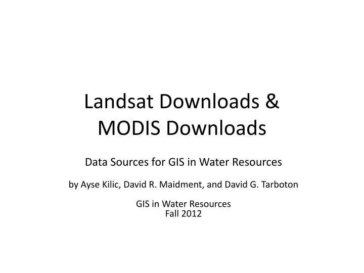
Landsat Downloads & MODIS Downloads. Data Sources for GIS in Water Resources by Ayse Kilic , David R. Maidment, and David G. Tarboton GIS in Water Resources Fall 2012. Landsat – 30 m x 30 m pixels 1972 – present Thermal imager since 1984. Center Pivot irrigated fields

E N D
Landsat Downloads & MODIS Downloads Data Sources for GIS in Water Resourcesby Ayse Kilic, David R. Maidment, and David G. Tarboton GIS in Water ResourcesFall 2012
Landsat – 30 m x 30 m pixels 1972 – present Thermal imager since 1984 Center Pivot irrigated fields near Kearney, Nebraska, 2011
Press “Select Scenes” to: a) get Landsat image background b) “Find” 657 !!! Landsat scenes for Lincoln, Nebraska from 1999-2012 c) Move the “Slide bar” to progress through the scenes in viewer
d) Press “Table” to get list of all images (657) available for the Path/Row covering Lincoln, NE. e) Check the images you want, f) “Add to Cart” g) Select “Showing” and select “cart” in dropdown to add to cart
h) In cart menu, recheck image dates to order, i) Press “Get Landsat Data” and j) You have just ordered Landsat images!! k) Press Metadata button to see what path/row (29/32) you are on.
Brazil Each Landsat path is 160 km wide Each row is 160 km tall Landsat 7 has 6 reflected bands (blue, green, red, 3 infrared) and one thermal band Texas
Another option to download Landsat datahttp://glovis.usgs.gov/ Path/Row-29/32
The Moderate Resolution Imaging Spectroradiometer (MODIS) Operating on both the Terra and Aqua spacecraft. It has a viewing swath width of 2,330 km Views the entire surface of the Earth every one to two days. Its detectors measure 36 spectral bands It acquires data at three spatial resolutions: 250-m, 500-m, and 1,000-m. Bands 1–2 - 250-meter Bands 3–7 - 500-meter Bands 8–36 - 1000-meter
MODIS data download steps: • http://reverb.echo.nasa.gov/reverb/#utf8=%E2%9C%93&spatial_map=satellite&spatial_type=rectangle • Use Map view • Bounding box to define the area of interest • Use search terms to find the data you are looking for i.e. NDVI • Define the time period • Select the dataset • Hit “Search for granules” • Select all granules • View items in chart • Download data and text (for the ftp address) • Open word file (under format- choose word wrap) • Copy-paste ftp address to view the NDVI file (JPEG) on a browser • https://lpdaac.usgs.gov/products • Vegetation Indices 16-Day L3 Global 1km - MYD13A2 • https://lpdaac.usgs.gov/products/modis_products_table/mod13a2 • Under ‘layers’ tab, find the table (Science Data Sets for MODIS Aqua Vegetation Indices 16-Day L3 Global 1km SIN Grid V005 (MYD13A2): Find the multiplier • Multiply the image (hdf file) with 0.0001 to create a raster image of NDVI in ArcGIS
MODIS Naming Conventions • example, the filenameMOD09A1.A2006001.h08v05.005.2006012234657.hdf indicates: • MOD09A1 - Product Short Name • .A2006001 - Julian Date of Acquisition (A-YYYYDDD) • .h08v05 - Tile Identifier (horizontalXXverticalYY) • .005 - Collection Version • .2006012234567 - Julian Date of Production (YYYYDDDHHMMSS) • .hdf - Data Format (HDF-EOS) • The MODIS Long Name (i.e., Collection-Level) convention also provides useful information. For example, all products belonging to the MODIS/Terra Surface Reflectance 8-Day L3 Global 500m SIN Grid V005 collection have the following characteristics: • MODIS/Terra - Instrument/Sensor • Surface Reflectance - Geophysical Parameter • 8-Day - Temporal Resolution • L3 - Processing Level • Global - Global or Swath • 500m - Spatial Resolution • SIN Grid - Gridded or Not • V005 - Collection Version • MODIS Temporal Resolution • The high level MODIS Land products distributed from LP DAAC are produced at various temporal resolutions, based on the instruments' orbital cycle. These time steps are possible in the generation of MODIS Land products: • Daily, 8-Day, 16-Day, Monthly, Quarterly, Yearly • MODIS Spatial Resolution • The MODIS instruments acquire data in three native spatial resolutions: • Bands 1–2 - 250-meter • Bands 3–7 - 500-meter • Bands 8–36 - 1000-meter • The high level MODIS Land Products distributed from LP DAAC are produced at four nominal spatial resolutions: 250-meter, 500-meter, 1000-meter, and 5600-meter (0.05 degrees).
ftp://e4ftl01.cr.usgs.gov/WORKING/BRWS/Browse.001/2012.06.14/BROWSE.MOD13A2.A2012145.h10v04.005.2012166102030.2.jpgftp://e4ftl01.cr.usgs.gov/WORKING/BRWS/Browse.001/2012.06.14/BROWSE.MOD13A2.A2012145.h10v04.005.2012166102030.2.jpg
Parameters to use for hdf file • https://lpdaac.usgs.gov/products/modis_overview • https://lpdaac.usgs.gov/products/modis_products_table/mod13a2 • Dataset MULTIPLY BY SCALE FACTOR
Science Data Sets for MODIS Terra Vegetation Indices 16-Day L3 Global 1km SIN Grid V005 (MOD13A2)