Download
1 / 32
320 likes | 324 Views
This research project explores the properties of the West African Monsoon using data from the QuikSCAT and TRMM satellites. It analyzes wind data and rainfall estimates to study the effect of wind fluctuations on air-sea fluxes.

E N D
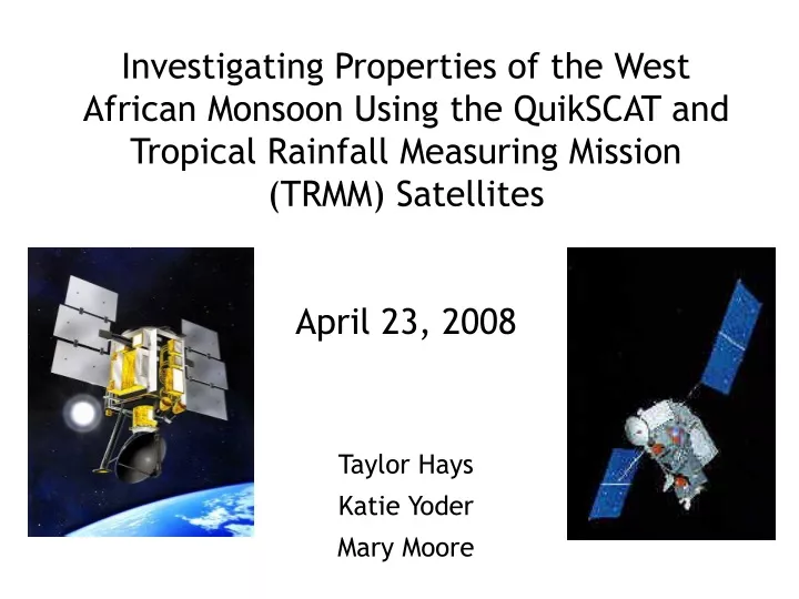
Investigating Properties of the West African Monsoon Using the QuikSCAT and Tropical Rainfall Measuring Mission (TRMM) Satellites April 23, 2008 Taylor Hays Katie Yoder Mary Moore
Effect of the Intraseasonal Wind Fluctuations in the West African Monsoon on Air-Sea Fluxes Study conducted by: Semyon Grodsky and James Carton 2001
Background The West African Monsoon occurs during the Northern Hemisphere summer and is strongest from mid-May until October During this time, the intensity of the monsoon fluctuates, with periods of heavy rain as well as dry, sunny days
Background Two well-documented wave-like functions are present during monsoon: • African Waves: • Zonal Wavelength: 2500-3000 km • Period: 3-5 days • Westward movement: 9-10 m/s 2. Second Type (unnamed): Zonal Wavelength: >6000 km Period: 6-9 days Westward movement: 11 m/s
Goals of This Research Project Grodsky and Carton wanted to investigate a possible 3rd wave-function: Bi-weekly Oscillation: Occurs near the equator by the ITCZ around April-June and does not appear to propagate westward To conduct this study, wind data from QuikSCAT and rainfall estimates from Tropical Rainfall Measuring Mission (TRMM) were analyzed
Overview • Provides wind speed and direction information over oceans to NOAA • Purpose is to fill in the gap created by the loss of data from the NASA Scatterometer that was lost in June 1997. • Launched June 19, 1999
Specs • Circles Earth at an altitude of 800km • Orbits once every 101 minutes (14 orbits per day) • Passes close to Earth’s north and south poles • Inclination of 98.6º • Seawinds is the Scatterometer instrument onboard
SeaWinds • Microwave radar that measures near-surface wind speed and direction • Rotating dish antenna with two spot beams that sweep in a circular pattern • Radiates microwave pulses at a frequency of 13.4 gigahertz across broad regions on Earth's surface • Collects data over ocean, land, and ice • Continuous 1,800 km wide band • Approximately 400,000 measurements • Covers about 90% of Earth's surface in one day • QuikSCAT is currently the only US-owned instrument in orbit that measures surface winds over the oceans
Objectives • Acquire all-weather, high-resolution measurements of near-surface winds over global oceans. • Determine atmospheric forcing, ocean response, and air-sea interaction mechanisms on various spatial and temporal scales. • Combine wind data with measurements from scientific instruments in other disciplines to help us better understand the mechanisms of global climate change and weather patterns. • Study both annual and semi-annual rain forest vegetation changes. • Study daily/seasonal sea ice edge movement and Arctic/Antarctic ice pack changes • Improve weather forecasts near coastlines by using wind data in numerical weather- and wave-prediction models. • Improve storm warning and monitoring.
QuikSCAT Storm Page • The storm centered imagery are generated based on storm center files provided by NRL(Naval Research Laboratory at Monterey). • These files are updated whenever new information about active storms become available • Since QuikSCAT 1800 km wide swath on the results in twice per day coverage over a given geographic region. • Display the current and past wind vector images for the selected storm. • Brighter means higher backscattered power levels, which in ocean scenes generally implies increased small scale (~2-5cm) roughness on the surface. http://manati.orbit.nesdis.noaa.gov/cgi-bin/qscat_ice.pl
QuikSCAT Ocean QuikSCAT is a polar orbiting satellite with an 1800 km wide measurement swath on the earth's surface. Generally, this results in twice per day coverage over a given geographic region. This page contains the most recent wind vector images covering the Atlantic Ocean, Indian Ocean, East Pacific and West Pacific Ocean. It is updated shortly after reciept of new QuikSCAT orbit data files. http://manati.orbit.nesdis.noaa.gov/cgi-bin/qscat_ocean.pl
QuikSCAT Ice Page • The daily ice image products are generated from SeaWinds • This page contains the most recent images covering the Antarctic, the Arctic, the Ross Ice Shelf, South Georgia Island and the Weddell Sea. • The Antarctic and Arctic products typically span a 24-hour data period, while the other regions span a 38-hour period. http://manati.orbit.nesdis.noaa.gov/cgi-bin/qscat_ice.pl
Bad News • The instruments still work, but the satellite that carries it has begun to show signs of age. Some of the sensors that provide orientation have failed and its transmitter is wearing out. • Because it is now running on a backup transmitter and having other problems, this satellite has the potential could fail at any moment, jeopardizing weather forecasts for potentially dangerous tropical storms. • In early June 2007, Bill Proenza, Director of the National Hurricane Center in Florida, came under fire for criticizing his NOAA superiors for not pursuing a back-up plan for replacing the capabilities provided by this satellite.
Overview • Joint mission between NASA and JAXA • Studies/Moniters tropical rainfall • Launched Nov 27, 1997 • First mission dedicated to measuring rainfall
Specs • Circular orbit at altitude of 350km • 35 degree inclination • 91 minute orbit (16 orbits per day) • Great coverage of tropics of 24 hour period • Land and sea measurements
Payload • Precipitation Radar (PR) • TRMM Microwave Imager (TMI) • Visible Infrared Scanner (VIRS) • Clouds and the Earth’s Radiant Energy System (CERES) • Lightning Imaging Sensor (LIS)
Precipitation Radar (PR) • Swath width = 250km • Ground resolution = 5km • Phased array antenna • Vertical profiles of rain/snow
TRMM Microwave Imager (TMI) • Swath width = 880km • 5 frequencies 10.7, 19.4, 21.3, 37, 85.5 GHz • Uses Planck’s Radiation Law to calculate rainfall rates
Visible Infrared Scanner (VIRS) • Swath width = 830km • Picks out cloud features small as 2.4 km • 5 spectral regions from 0.63 to 12 micrometers • Delineates rainfall • Used as standard to other measurements • POES • GOES
Good News • Long lifetime of satellite • Global distribution of rainfall • Better predictions of rainfall • Under-sampled ocean and tropical continental areas • GPMM due to launch in 2013
Results Found that trade winds reverse about every 2 weeks (~12-15 days), which was determined by tracking wind direction changes as well as precipitation location changes. Reversal may result from interactions between Africa’s hydrological cycle, land heating, and tropical trade winds
Results Illustration of the wind, rainfall, and land heating cycles that cause the bi-weekly oscillation to develop
Conclusions Grodsky and Carton were able to detect the bi-weekly oscillation during the West African Monsoon with the aid of the wind observations from QuickSCAT and rainfall amounts from TRMM