Download
1 / 15
150 likes | 236 Views
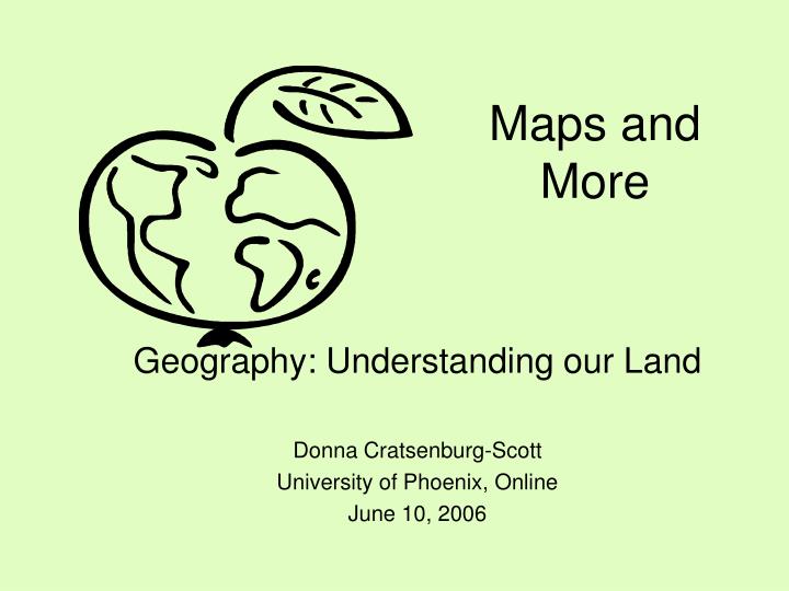
Maps and More. Geography: Understanding our Land Donna Cratsenburg-Scott University of Phoenix, Online June 10, 2006. My Teaching Experience

E N D
Maps and More Geography: Understanding our Land Donna Cratsenburg-Scott University of Phoenix, Online June 10, 2006
My Teaching Experience I taught my lesson to a small group of cub scouts, ages 9 – 10. Three of the four boys are identified as special needs (two learning disabled and one with behavioral issues). Although I wasn’t able to teach in a school, this geography project matched up nicely to some state and national standards. This experience served to further convince me that I’m headed in the right direction! I enjoyed working with this group of boys and hope to work with them more throughout the next year.
TSW know natural and manmade features in their neighborhood. TSW know the major landforms within 100 miles of their current location. TSW demonstrate how to properly use world map and globe to locate the continents, oceans, equator and the hemispheres. TSW orally explain how longitude and latitude lines are used to locate a site. Mastering geography and its components will give students the underlying knowledge necessary to understand states, regions, countries, and major world regions. Objectives and Rationale
National Standards • Content standard E • Distinguish between natural objects and objects made by humans
State of Michigan Standards • Content Standard 4 – Social Studies • Draw sketch maps of the community, region and nation.
State of Michigan StandardsGeosphere EG (V.1) - Science • All students will describe the earth’s surface • Describe major features of the earth’s surface • Key concepts: type of landforms and bodies of water
Accommodation of Diverse Learners • Small class size and low adult to scout ratio allows for personalized attention and support • Ample questioning and interaction used to provide opportunity for specialized instruction • Scouts may orally label and then identify objects in lesson if necessary (leaders may “determine different requirements” to suit scouts’ abilities)
Materials • Paper • Colored pencils/crayons • Local map with landforms • World globe and world map with latitude and longitude lines • Geography resource sheet • Landform resource sheet
Opening Activity • Lead students on hike around the block • Ask them what objects they see and make a list. Some examples from our hike: roads, trees, buildings, a river.
Procedures • Show scouts local map and discuss elements of a good map • Discuss and define natural vs. manmade features. Ask students for examples Both direct instruction and student participation were used in this lesson. Direct instruction (explaining definitions, demonstrating concepts) is useful to present new information. Student participation (student input/examples, student demonstrations) give students first-hand experience and reinforces concepts presented.
Procedures (cont) • Display sample map with both natural and manmade features labeled. • Instruct scouts to draw neighborhood map and encourage them to include as much detail as possible. • Label details on maps as manmade or natural. • Display and discuss overhead showing types of major landforms. Ask which landforms might be near our location.
Procedures (cont) 7. Identify landforms near Greenville, MI with scouts’ help. Point out scale on map to help scouts understand map scale and its relationship to distance. 8. Show scouts world globe and discuss continents, oceans, equator and hemispheres. Allow students to take turns pointing out these elements on the globe
Procedures (cont) • Using world globe, point out longitude and latitude lines. Demonstrate finding a site. • Allow scouts opportunity to explain how to locate a site using longitude and latitude using the globe. • Ask students to “stump the teacher.” (Helps teacher to assess students’ understanding)
Integration of Technology • World map is printed from internet source • Landform resource sheet given to students includes websites to visit for more information and online activities • Overhead projector used to display landforms – allows students to point out landforms (using a pointer)
References Boy Scouts of America (1999). Cub Scout Academics and Sports Program Guide. Irving, Texas: Boy Scouts of America. Enchanted Learning (2006). Landform Definitions. Retrieved on June 3, 2006 from http://www.EnchantedLearning.com Michigan State Department of Education. (2000). Michigan Curriculum Framework Science Content Benchmarks. Retrieved on June 6 from http://www.michigan.gov/documents/Updated_Science_Benchmarks_27030_7.pdf. Michigan State Department of Education. (2006). Michigan Content Standards and Draft Benchmarks. Retrieved on June 6, 2006 from http://www.michigan.gov/documents/Social_Studies_Standards_122915_7.pdf. National Science Education Standards. (2006). Content Standards: K-4. Retrieved on June 6, 2006 from http://fermat.nap.edu/html/nses/html/6c.html.