Download
1 / 19
220 likes | 817 Views
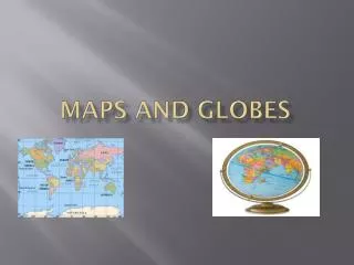
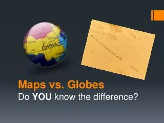
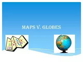
Maps and Globes. Mr. Womack Geography. Maps and Globes. A globe is a three-dimensional representation of the earth. It provides a way to view the earth as it travels through space. Maps are two-dimensional graphic representations of selected parts of the earth’s surface.

E N D
Maps and Globes Mr. Womack Geography
Maps and Globes A globe is a three-dimensional representation of the earth. It provides a way to view the earth as it travels through space. Maps are two-dimensional graphic representations of selected parts of the earth’s surface.
Advantages and Disadvantages Globes show the earth’s true shape, but they are not very practical because they are not easily portable. Maps are easily portable, and can be drawn to any scale needed. However, distortion can occur because the earth’s surface has been distorted to create the map.
Who makes maps? Cartographers- or mapmakers, make maps and must update them to reflect political and environmental changes to the globe. They also use something called map projection to reduce distortion by presenting a round earth on flat paper.
Types of Maps Topographic- Represents natural and man-made features on the earth. Political-Show boundaries set up by governments. These boundaries are not always physical. Thematic-they emphasize specific kinds of information such as climate or population. Navigation-Used by sailors, pilots, and geo-cachers.
How a map is made Surveying- The first step in making a map is to complete a field survey. Surveyors observe, measure, and record what they see in a specific area. Most data for maps today is gathered by remote sensing. Satellites are used a lot to provide Geographic data.
Types of Satellites The two major satellites used are Landsat and GOES. Landsatis a series of satellites that orbit more than 100 miles above earth. Each time a satellite makes an orbit, it picks up data in an area 115 miles wide. Landsatcan scan the entire earth in 16 days.
Landsat Satellite Our own state of Utah as seen from the Landsat Satellite from space. What does this map show you about Utah?
GOES Geostationary Operational Environment Satellite (GOES) is a weather satellite. This satellite flies in sync with the earth’s rotation. By doing so, it always views the same area. It gathers images that are useful in forecasting the weather.
GIS Geographical Information Systems or GIS stores information about the world in a digital database. GIS has the ability to combine information from a variety of sources and display it in ways that allows the user to visualize the use of space in different ways. Maps with special features are made with this system.
GPS Global Positioning Satellite or GPS has the ability to tell you exactly where you are on the earth’s surface. 24 satellites called Navstars give users latitude, longitude, altitude and time on a handheld receiver. Has anyone geo-cached before?
Activity Look at two maps in the room. Answer the following questions: What type of map is it? (Topographic, Political) To you, what is the most important feature on the map? (your own opinion) Why do we make maps? Talk to one other person in the class. Compare your answers and then tell me which map you feel is better topographical or political. Also tell me why you feel that way.