Download
1 / 9
90 likes | 205 Views
Maps and Projections. September 7, 2011. So what exactly is a “map?”. MAPS are two-dimensional representations of three-dimensional areas MAPS can depict different information, depending on the type of map. Physical Maps Represent physical features, particularly landforms. Political Maps

E N D
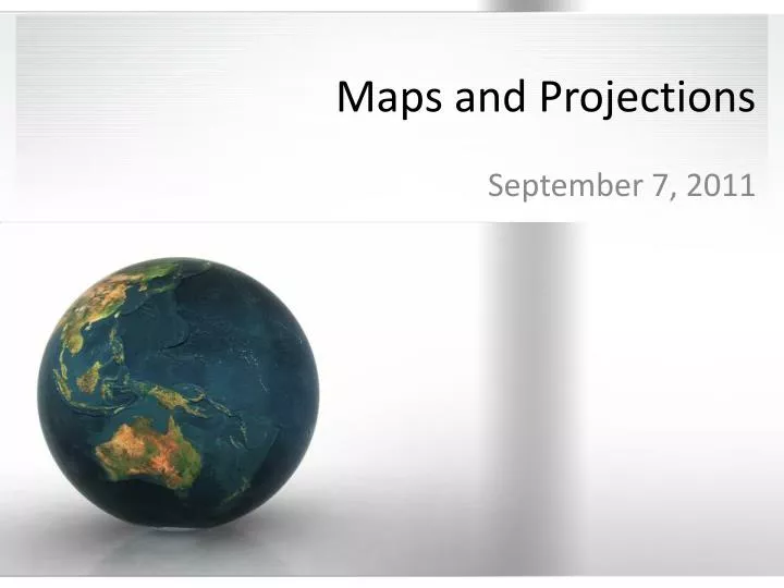
Maps and Projections September 7, 2011
So what exactly is a “map?” • MAPS are two-dimensional representations of three-dimensional areas • MAPS can depict different information, depending on the type of map. • Physical Maps • Represent physical features, particularly landforms • Political Maps • Represent political boundaries between countries
Map Features • Key – explains symbols of map • Scale – shows distance • For example, one inch on the previous map equals about 50 miles on the Earth • Compass Rose – Shows directions, particularly North to orient the reader • Places of Significance – Typically cities (represented by dots) or capitols (represented by encircled stars)
Large v. Small Scale Large Scale Small Scale
Projections • Projections are different ways to “project” the surface of the Earth onto a flat surface • Hundreds of different types • Fall under three general categories • Planar (most accurate at the center • Conic (most accurate near equator) • Cylindrical (most accurate near equator) • Each type has pros and cons; no projection is 100% accurate
Sample Projection Types • Look around the room and take notes about what you see
Geographic Information Systems • Computer systems designed to help cartographers (people that make maps and chart the Earth) make changes to existing maps • “A geographic information system (GIS) integrates hardware, software, and data for capturing, managing, analyzing, and displaying all forms of geographically referenced information.” – GIS.com • Used for EVERYTHING
Exit Ticket • 1. Name three categories of map projections and one example you saw in class today. • 2. How have technologies such as GPS and Google Maps affected our map reading skills, and do you consider it a positive or negative change? Write a paragraph explaining your answer.