Download
1 / 12
120 likes | 206 Views
Riparian- Flood Plain Model. Landscape Analysis Model Inputs SWAT Modifications REMM Additions Current Plans. Landscape Analysis Dr. Martin Volk Center for Environmental Research Leipzig, Germany. Study Area. The Saale River Basin (Central Germany) is subdivided in

E N D
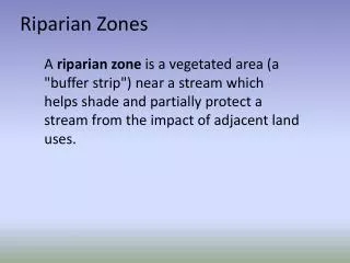
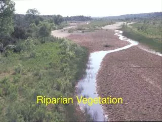
Riparian- Flood Plain Model • Landscape Analysis Model Inputs • SWAT Modifications REMM Additions • Current Plans
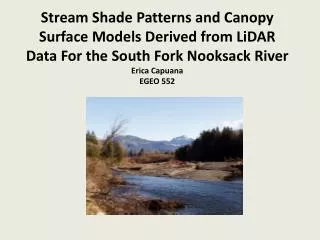
Landscape Analysis Dr. Martin Volk Center for Environmental Research Leipzig, Germany
The Saale River Basin (Central Germany) is subdivided in three sub-regions: The Pleistocene lowlands, the loess sub-region and the mountainous sub-region. The length of river is about 320 km. Precipitation varies from 500 mm in the loess areas to 1200 mm in the forested mountain regions.
HRU’s HRU’s HRU’s 28% Range 28% Range 28% Range - - - Sandy Sandy Sandy 51% Pasture 51% Pasture 51% Pasture – – – Silt Silt Silt 16% Forest 16% Forest 16% Forest – – – Sandy Sandy Sandy 4% 4% 4% - - - Agriculture Agriculture Agriculture - - - Silt Silt Silt
Subbasin 18 HRU 1 Forest
Hydrologic Balance Evaporation and Transpiration Precipitation Surface Runoff Root Zone Infiltration/plant uptake/ Soil moisture redistribution Lateral Flow Vadose (unsaturated) Zone Revap from shallow aquifer Percolation to shallow aquifer Shallow (unconfined) Aquifer Return Flow Confining Layer Flow out of watershed Deep (confined) Aquifer Recharge to deep aquifer
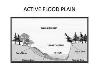
Bank Storage Over Bank Flood Plain Soil Shallow Aquifer Flood Plain Riparian Zone Flood Plain Hillslope HRU’s SWAT 2003 Current Research • • Landscape Positions • (New HRUs: Valley floors, Hillslopes, Ridgetops) • Riparian Zones Ridgetop HRU’s
Current Consortium • Riesel, Texas Peter Allen – Baylor Daren Harmel • Tifton, Georgia Richard Lowrance Dave Bosch • University Park, Pennsylvania Bil Gburek Tammie Veith • El Reno, Oklahoma Mike Van Liew