Download
1 / 8
80 likes | 241 Views
Flood Plain Mapping of Miami-Dade County’s Canal C-100A. Gabriel Milian. Location. Data Recieved. CADD Drawing Received from MSA, Inc. Data Received (Cont.). Samples of the Cross-sections sent. Procedure. Translate the CADD cross-sections to an Excel File.

E N D
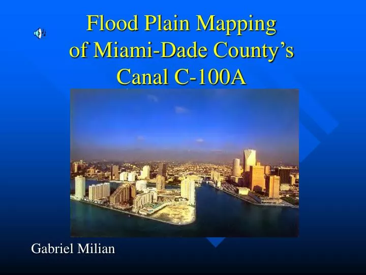
Flood Plain Mapping of Miami-Dade County’sCanal C-100A Gabriel Milian
Data Recieved • CADD Drawing Received from MSA, Inc.
Data Received (Cont.) • Samples of the Cross-sections sent
Procedure • Translate the CADD cross-sections to an Excel File. • Convert to a database file. (Do not convert to db4 first) • Add database file to ARC Map • Adjust settings to be shown in the X-Y coordinate system • Apply 3-D Spatial Analyst to create a tin
(Very Near) Future • Use HEC-HMS to decipher the flood plain for both cases • Determine the amount the flood plain has decreased • Show the now newly useable area for development along the canal
Microscale • Due to its small scale (on the order of about 1500 ft), it would be very difficult to fit with the maps that are provided by the USGS as well as the other regulatory agencies of the area