Download
1 / 14
140 likes | 339 Views
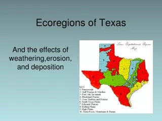
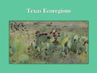
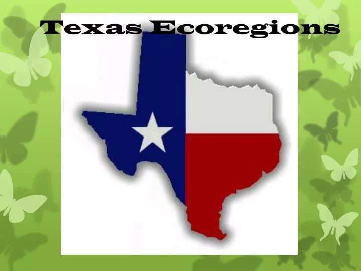
Texas Ecoregions. What is An Ecoregion ?. Ecoregion - a major ecosystem with distinctive geography, characteristic plants and animals, ecosystems, and receiving uniform solar radiation and moisture Sometimes called an ecological region or bioregion Smaller than a biome. Piney Woods

E N D
What is An Ecoregion? • Ecoregion - a major ecosystem with distinctive geography, characteristic plants and animals, ecosystems, and receiving uniform solar radiation and moisture • Sometimes called an ecological region or bioregion • Smaller than a biome
Piney Woods Location East Texas PrecipitationRegional Average Rainfall:40-52 in./ yr Temperature Jan-50-60 degrees Jul 85 degrees Characteristics Thick forest of pines, bottomlands (swampy), hardwood trees ”Big Thicket” southern most region High Humidity Timber and cattle production Swamps are common
Gulf Coast Prairies & Marshes Location Gulf Coast—Gulf of Mexico Precipitation 40-60 inches Temperature Jan 55 degrees Jul 85 degrees Characteristics Includes marshes, barrier islands, estuaries, and bays Slowly drained plains, less than 150 feet in elevation High humidity, warm temperatures Native habitat has been lost to agriculture & urbanization but still provides habitat for migratory birds and spawning areas fro fish and shrimp
Edwards Plateau Location Central Texas-Hill Country Precipitation 15-34 inches Temperature Jan 55 degrees Jul 85 degrees Characteristics Land of springs, stony hills and steep canyons Home of rare plants and animals The limestone is honeycombed with thousands of caves Ranching is the primary ag industry Surrounds the Llano Uplift
Llano Uplift Location Center of Edwards Plateau Precipitation 24-32 inches Temperature Characteristics Central mineral region Home to some of the oldest rocks in Texas Enchanted Rock Oak-hickory or oak-juniper woodlands, mesquite-mixed brush savannah and grasslands Ranching
High Plains Location Most of the Panhandle Precipitation 15-22 inches Temperature Jan 35 degrees Jul 100 degrees Characteristics Relatively level high plateau Elevations are from 3000 to 4500 feet Extended droughts are normal Short grass Prairie, Juniper and Shinneryoak and Sand Sage are common Buffalo and Pronghorn Antelope once populated the area, today mostly irrigated cropland and native vegetation
Trans Pecos LocationExtreme Western part of the state eastward of the Pecos River Precipitation Less than 12 inches Temperature Jan 45 degrees Jul 95 degrees Characteristics Many vegetation's types exist due to the diversity of soil and elevations Creosote-tar bruch desert scrub, desert grassland, yucca and juniper savannahs, montane forests of pine and oak There are various sub regions that reflect the diversity of the Trans Pecos Ranching in a primary industry